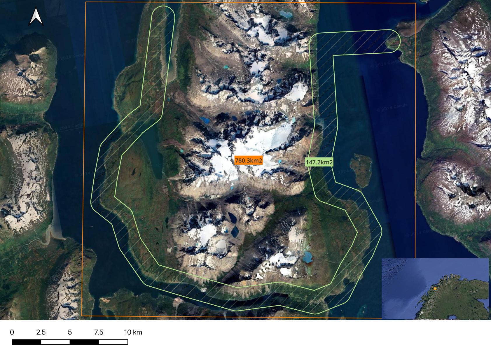
Attached an example of a mission for the purpose of this discussion. I have some questions related to terrain following and what if in case of RTL.
- I’m using custom TIFF as elevation source. 10mx10m or 50mx50m. Working fine pushing this from GCS (Mission Planner).
- For the attached scenario. What is the size of the terrain buffer area being pushed from GCS to flight controller (Cube)?
- Does the terrain buffer include coverage for a RTL at the most critical point?
- Is there a parameter setting controlling the size of this buffer?
- Is there a tool available for converting TIFF to DAT?
Thanks