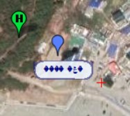
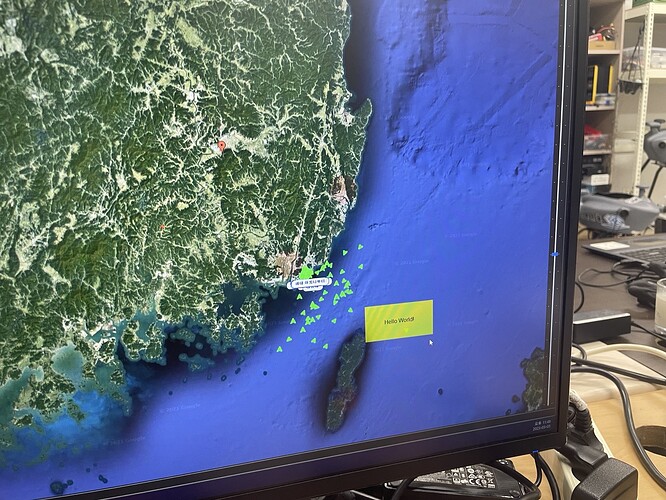
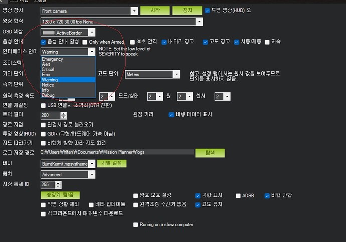
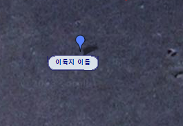
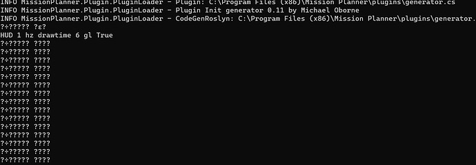
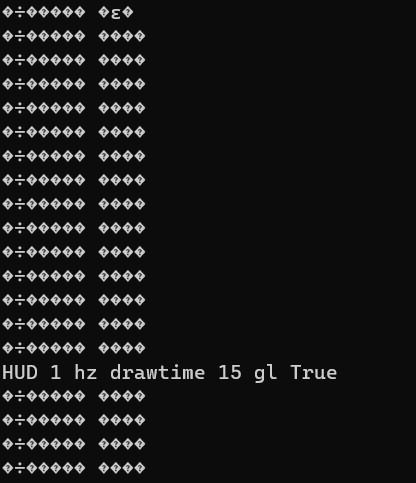
For the sake of certainty, I manually deleted the Mission Planner folder after using the uninstaller. Then, I restarted my laptop and reinstalled Mission Planner from the official doc. However, the Korean characters are still broken. In the previous version of Mission Planner, they were displayed correctly.
Because my original code won’t work without AIS(ship) receiver connected to laptop LAN port and AISParser.dll, and too complex,
for you, I will post up the simple code that regenerate error :
using System;
using System.Windows.Forms;
using GMap.NET.WindowsForms.Markers;
using GMap.NET;
using GMap.NET.WindowsForms;
using System.Drawing;

namespace MDTPlugins
{
    public class MDTPlugins : MissionPlanner.Plugin.Plugin
    {
        private GMapOverlay shipOverlayFP;
        private GMapOverlay takingOffPositionOverlay;

        public override string Name
        {
            get { return "Regenerate Error"; }
        }

        public override string Version
        {
            get { return "0.30"; }
        }

        public override string Author
        {
            get { return "Truth"; }
        }

        public override bool Init()
        {
            return true;
        }

        public override bool Loaded()
        {
            takingOffPositionOverlay = new GMapOverlay();
            takingOffPositionOverlay.IsVisibile = true;
            Host.FPGMapControl.Overlays.Add(takingOffPositionOverlay);

            MarkingTakingOffPositionMarker();

            loopratehz = 12.0f;

            return true;
        }

        public override bool Loop()
        {
            loopratehz = 20.0f;
            return true;
        }


        public override bool Exit()
        {
            return true;
        }


        private void MarkingTakingOffPositionMarker()
        {
            var location1 = new GMap.NET.PointLatLng(35.0724, 129.05471);
            var marker1 = new GMap.NET.WindowsForms.Markers.GMarkerGoogle(location1, GMap.NET.WindowsForms.Markers.GMarkerGoogleType.blue);
            marker1.ToolTipText = "location 1";
            marker1.ToolTipMode = GMap.NET.WindowsForms.MarkerTooltipMode.Always;
            marker1.ToolTip.Offset = new Point(-50, 10);
            marker1.ToolTip.Font = new Font("Arial", 7, FontStyle.Bold);
            marker1.Size = new System.Drawing.Size(25, 25);
            takingOffPositionOverlay.Markers.Add(marker1);

            var location2 = new GMap.NET.PointLatLng(35.06711, 129.06562);
            var marker2 = new GMap.NET.WindowsForms.Markers.GMarkerGoogle(location2, GMap.NET.WindowsForms.Markers.GMarkerGoogleType.blue);
            marker2.ToolTipText = "location 2";
            marker2.ToolTipMode = GMap.NET.WindowsForms.MarkerTooltipMode.Always;
            marker2.ToolTip.Offset = new Point(-30, 10);
            marker2.ToolTip.Font = new Font("Arial", 7, FontStyle.Bold);
            marker2.Size = new System.Drawing.Size(25, 25);
            takingOffPositionOverlay.Markers.Add(marker2);

            var location4 = new GMap.NET.PointLatLng(35.06151, 129.07614);
            var marker4 = new GMap.NET.WindowsForms.Markers.GMarkerGoogle(location4, GMap.NET.WindowsForms.Markers.GMarkerGoogleType.blue);
            marker4.ToolTipText = "감지해변";
            marker4.ToolTipMode = GMap.NET.WindowsForms.MarkerTooltipMode.Always;
            marker4.ToolTip.Offset = new Point(-30, 10);
            marker4.ToolTip.Font = new Font("Arial", 7, FontStyle.Bold);
            marker4.Size = new System.Drawing.Size(25, 25);
            takingOffPositionOverlay.Markers.Add(marker4);

            var location5 = new GMap.NET.PointLatLng(35.04995, 129.08549);
            var marker5 = new GMap.NET.WindowsForms.Markers.GMarkerGoogle(location5, GMap.NET.WindowsForms.Markers.GMarkerGoogleType.blue);
            marker5.ToolTipText = "location 5";
            marker5.ToolTipMode = GMap.NET.WindowsForms.MarkerTooltipMode.Always;
            marker5.ToolTip.Offset = new Point(-20, 10);
            marker5.ToolTip.Font = new Font("Arial", 7, FontStyle.Bold);
            marker5.Size = new System.Drawing.Size(25, 25);
            takingOffPositionOverlay.Markers.Add(marker5);

            var location6 = new GMap.NET.PointLatLng(35.07416, 129.08309);
            var marker6 = new GMap.NET.WindowsForms.Markers.GMarkerGoogle(location6, GMap.NET.WindowsForms.Markers.GMarkerGoogleType.blue);
            marker6.ToolTipText = "location 6";
            marker6.ToolTipMode = GMap.NET.WindowsForms.MarkerTooltipMode.Always;
            marker6.ToolTip.Offset = new Point(-50, 10);
            marker6.ToolTip.Font = new Font("Arial", 7, FontStyle.Bold);
            marker6.Size = new System.Drawing.Size(25, 25);
            takingOffPositionOverlay.Markers.Add(marker6);

            var location7 = new GMap.NET.PointLatLng(35.07823, 129.08888);
            var marker7 = new GMap.NET.WindowsForms.Markers.GMarkerGoogle(location7, GMap.NET.WindowsForms.Markers.GMarkerGoogleType.blue);
            marker7.ToolTipText = "location 7";
            marker7.ToolTipMode = GMap.NET.WindowsForms.MarkerTooltipMode.Always;
            marker7.ToolTip.Offset = new Point(-50, 10);
            marker7.ToolTip.Font = new Font("Arial", 7, FontStyle.Bold);
            marker7.Size = new System.Drawing.Size(25, 25);
            takingOffPositionOverlay.Markers.Add(marker7);
        }

    }//end of Class Plugins
}// end of Namespace Plugins
this code will update overlay on flight planner.
edited : I removed location name and coordinate for privacy reason
