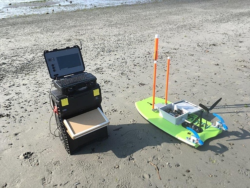
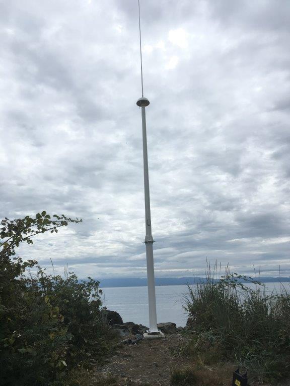
I am using ArduRover (3.5.1) in an autonomous surface vessel to map the antenna patterns of oceanographic radars (CODAR systems).
CODARs are HF radars that measure surface currents. The antenna response pattern must be mapped before the data can be used. This was normally done with small boats but a group from UC Santa Barbra did some work on using fixed wing, multicopter and autonomous boats to map the antennas. My system is a modification of their initial designs. The vessel is an air boat with kick up rudders to avoid issues with kelp beds that are present at most of our radar sites.
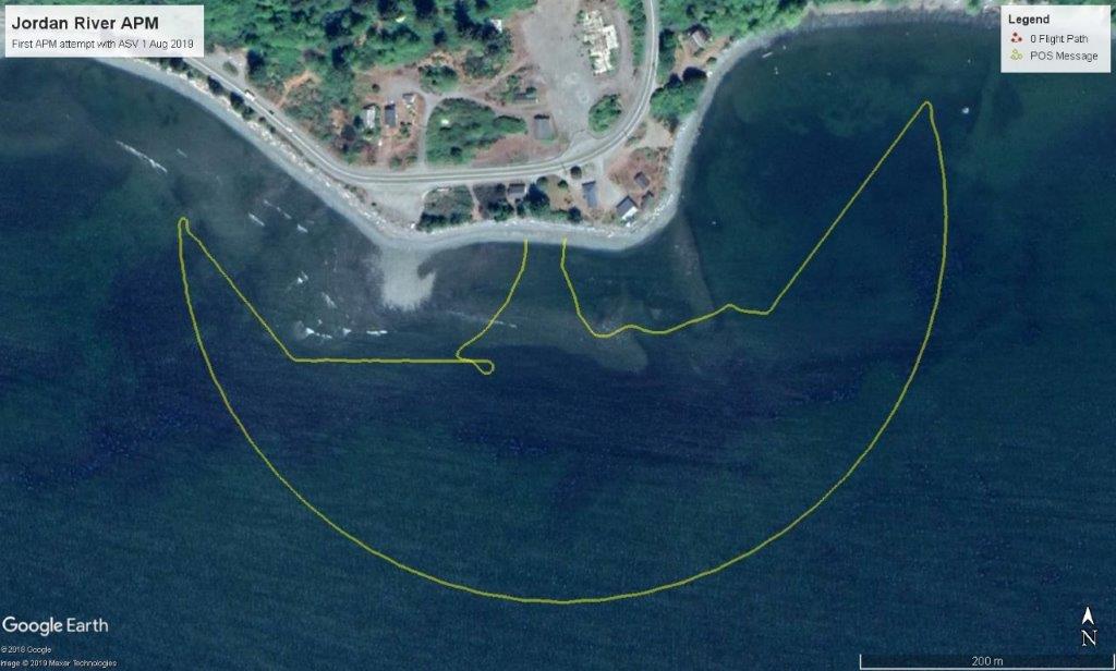
A small signal source or transponder is moved at a constant speed (1 m/s) in a 300m arc around the antenna while the radar collects data. The response of the antenna is then used to calibrate the radar.
Here is the mission track of a recent calibration run in the Juan Du Fuca Strait.
Cheers,
Adrian


