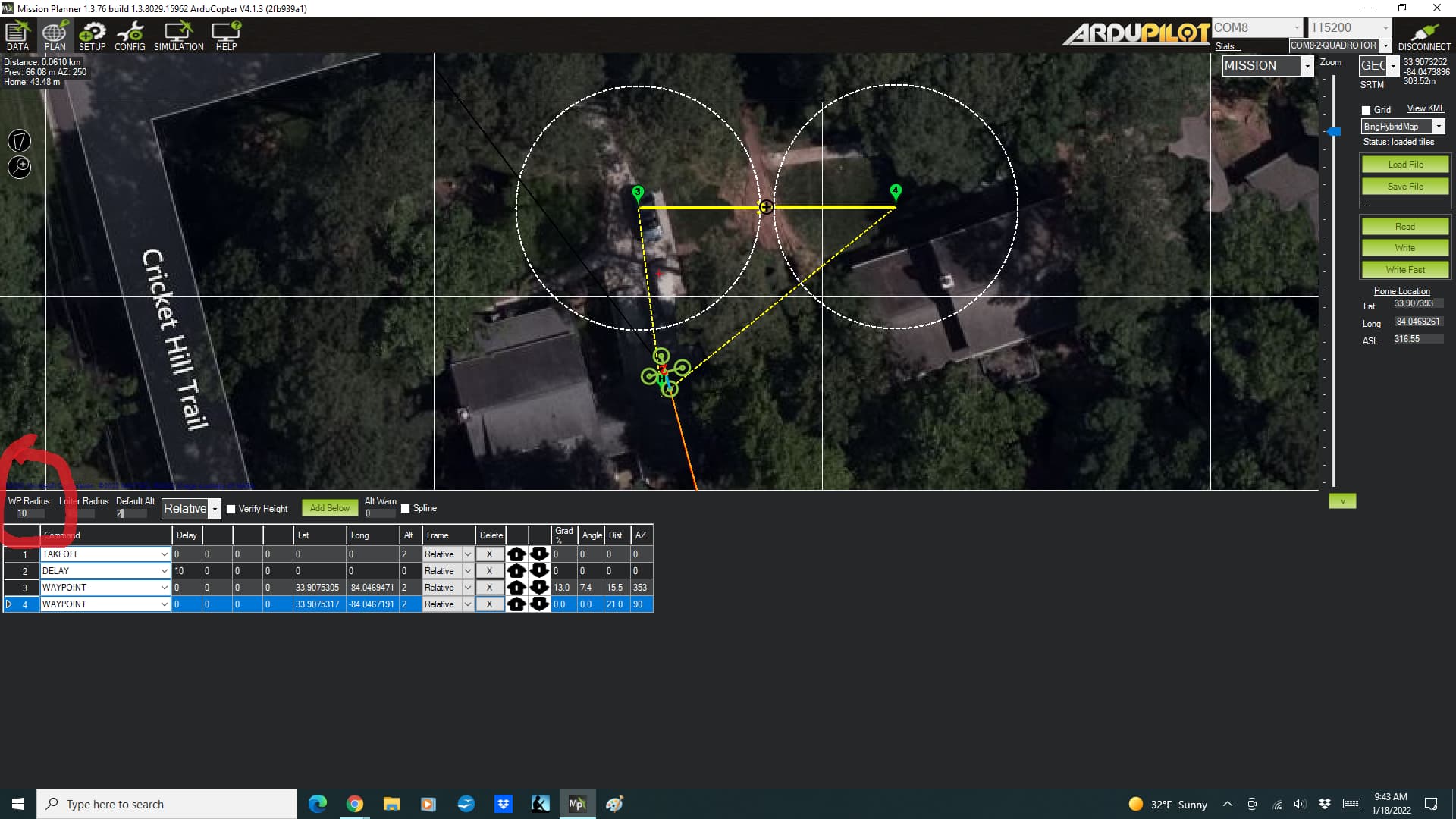
When adding waypoints to a mission on the PLAN page, a white dashed circle is drawn to indicate the “radius” for that waypoint - the distance the copter must be within to “arrive.” (sorry - I’m sure there are more official terms - but I don’t have them handy)
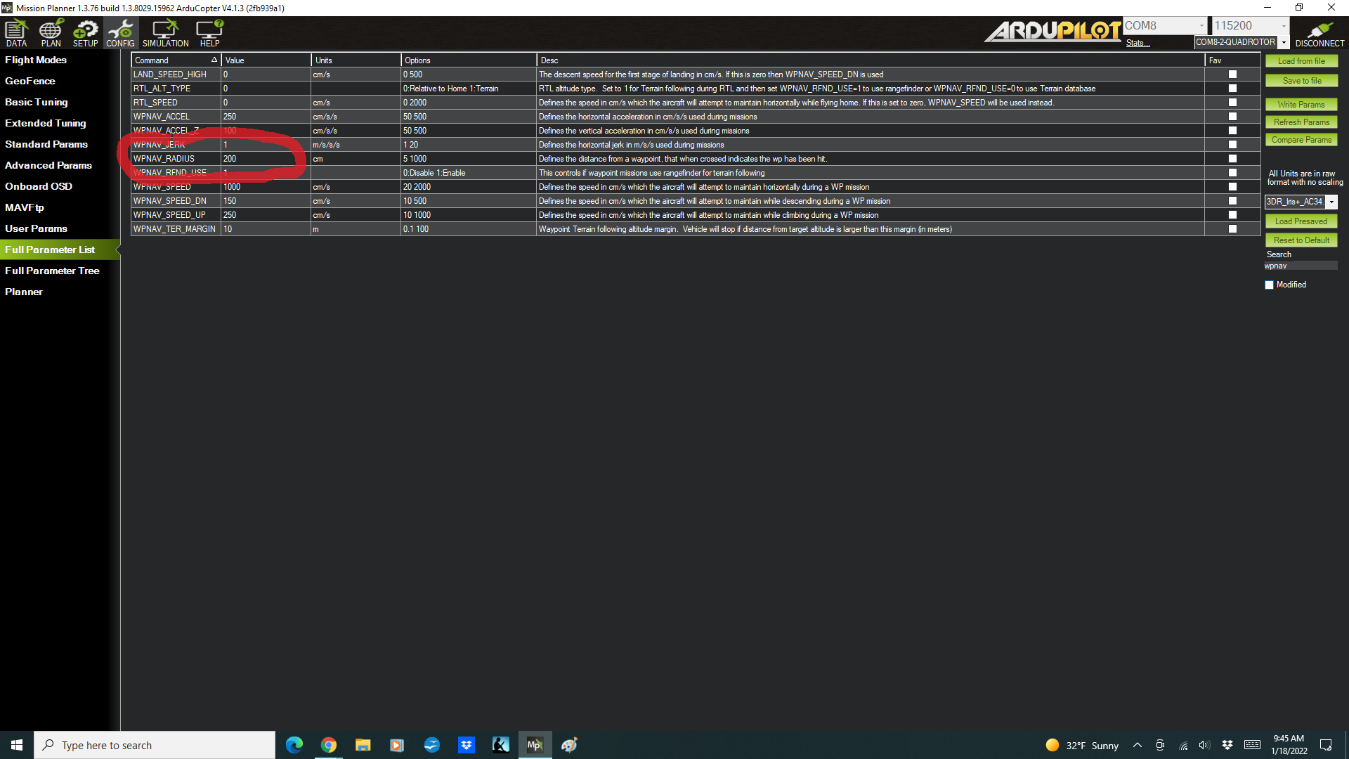
The value of the field “WP Radius” on the PLAN page starts with the value of the WPNAV_RADIUS parameter. But you can set different values on this field on the PLAN screen which are then represented with the white dashed circle around the waypoint.
My question is - what value is actually stored on the mission?
I’m just guessing, but I suspect that the “WP Radius” field on the PLAN page doesn’t effect the mission - it just is used to draw the white dashed circles for situational awareness.
Thanks for any help and clarification!