At the top of the mission planner map interface, a horizontal bar will be displayed, and numbers will be displayed in auto mode. What do these data represent?
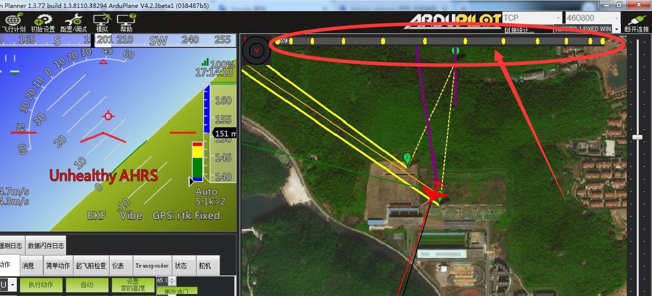
These (yellow markers) are the waypoints of your mission and shows a progress bar indicating where aircraft / vehicle is in relation to total mission.
…Handy as on longer distance mission not the whole mission is visible on the map.
See also excample:
https://ardupilot.org/planner/docs/mission-planner-simulation.html