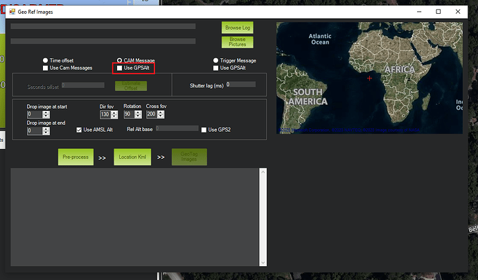
The Mission Planner geotag utility has an option: “Use GPSAlt”.
I’ve not used this option except once or twice to explore. But as I advance into RTK navigation for photogrammetry, I should understand it’s function so I can use it - or not - properly.
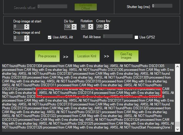
Without this option, my geotags have an average variance of 9 meters too high according to Pix4D. I need to improve on that.
It would help if I knew which altitude Mission Planner uses with or without the “Use GPSAlt” option selected.
For example - without “Use GPSAlt” does Mission Planner calculate the altitude based on the GPS location of the Home location - and the adjust it with the barometric data?
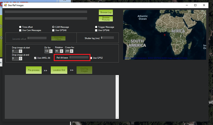
The geotag utility has another input field: “Rel Alt base.” How exactly does this field contribute? Is it perhaps a way to input an accurate surveyed altitude of the Home point to be used in the barometric calculation of altitude?
The wiki for Mission Planner geotagging is quite old - and doesn’t mention these options:
https://ardupilot.org/planner/docs/common-geotagging-images-with-mission-planner.html
The Mission Planner geotag tool is a really wonderful feature - and I’m surprised at how few people use it. Maybe once I fully understand these options I can help out by updating the documentation.


