Hello everybody.
It is RicoMan.
I am flying at a very high altitude this time.
The place where I usually fly is about 70m in altitude.
And the place I drove this time is 3400m.
The problem is from here.
I have a problem I’ve never experienced before.
The helicopter is still on the ground, but the altitude seen in the mission planner is increasing or decreasing
It is on the ground and the altitude is 15m 30m.
If the helicopter floats in the air, its altitude can not be less than 10 meters.
However, on gcs, it is written as 20m 30m.
This is my first time.
But I think this is my fault.
There are some people who use pixhawk to blow up drones.
They would not have had the same problems with me.
What action should I take to solve this problem?
I think this is a problem because it is not baro caribaration.
-
How do I baro cari manually?
Or does pixhawk run automatically? -
What if this is not a baro problem?
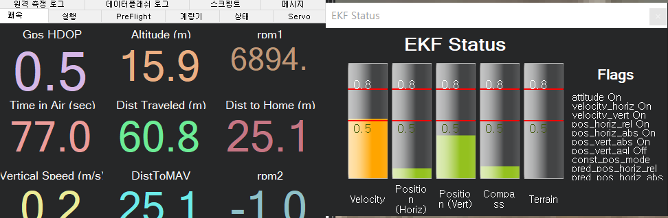
Here is my EKF picture attached.
My helicopter was hovering about 5 meters.
On the gcs, however, it is 15m.
I am a coward and can not fly more than 15 meters high.