I presume it’s got something to do with SRTM vertical data. Maybe whether I’m looking at 1 or 3 arc seconds for my area. Anyhow, never seen this before. I was going to try 3.4 and terrain following, so a heads up would be a great idea lol.
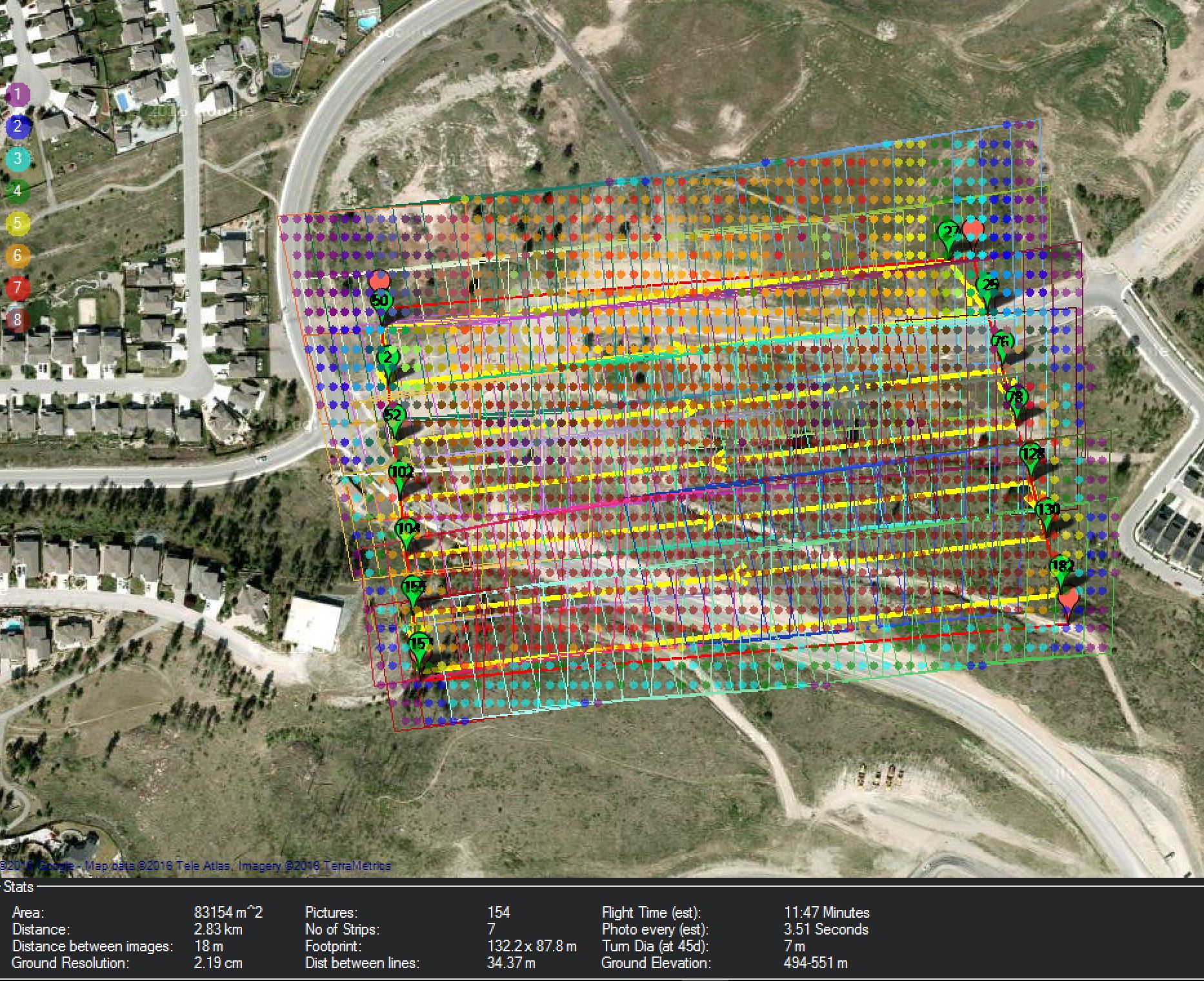
That’s showing you your image overlap. The legend on the left side of the screen shows how many photos cover that spot.
That’s awesome. Thanks!