UniGCS is designed for commercial use and compatible with ArduPilot / Mavlink. Starting from the latest v1.1.4 version, the software is no longer limited on SIYI Handheld Ground Stations any more. Now it runs on smartphones/tablets and is compatible with other ArduPilot hardwares. The GCS offers both Android and Windows versions.
UniGCS will provide SDK package for customized development.
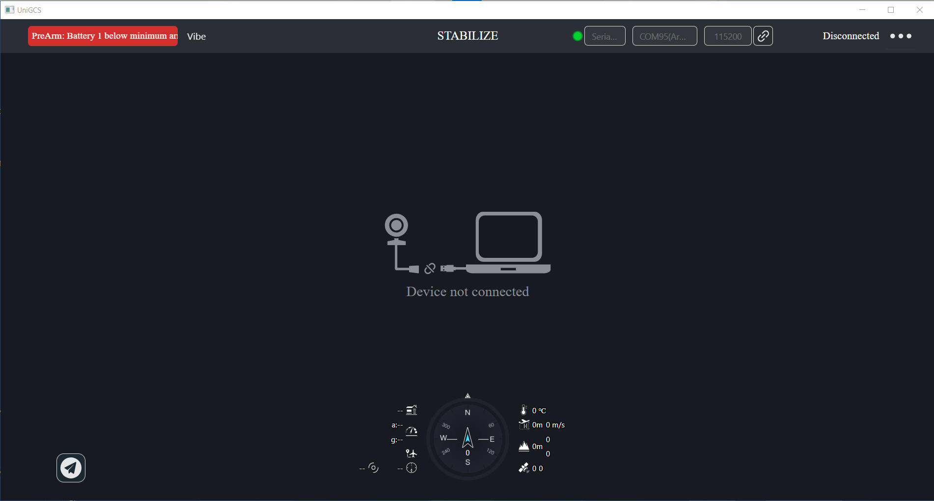
The software is connecting to the drone (I can see the messages on the top left) but nothing else is being updated, including the map position. (Based on my telemetry data to my radio I know the drone has a GPS position)
I don’t see any access to parameter data or settings. No way to adjust RTL or fence data.
Mission planning can create a waypoint route, however I don’t see options for survey or data collection. The only altitude reference I have is “relative”, nothing for terrain or absolute.
@twistedwings@Allister
Many thanks for your attention
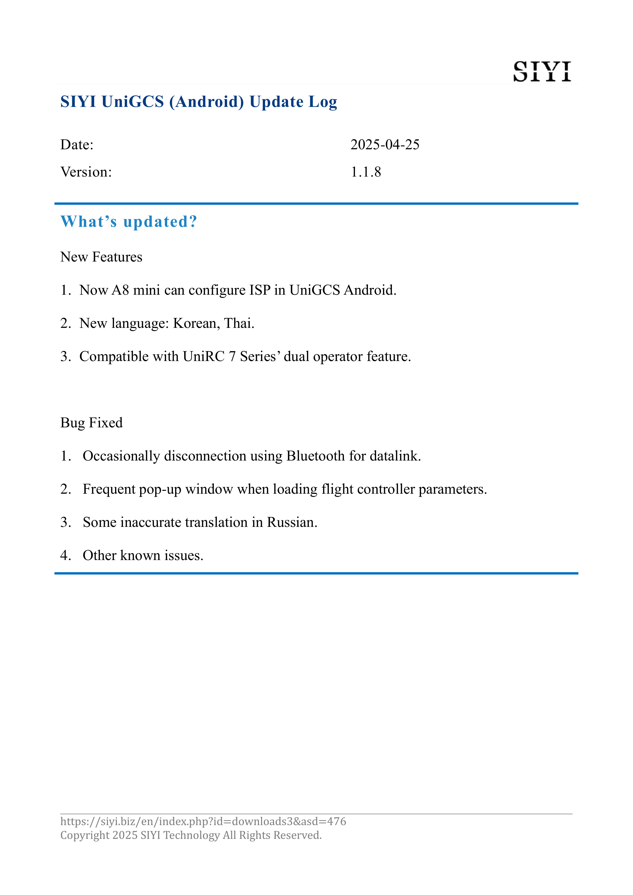
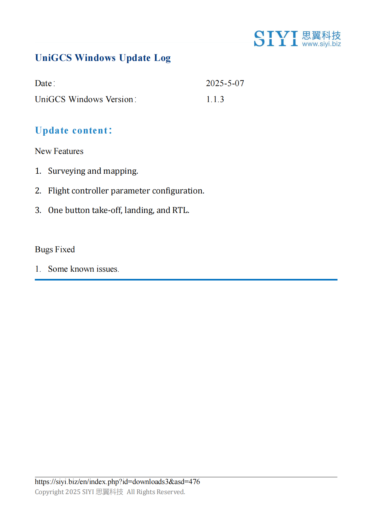
Windows version has not updated to v1.1 yet. It should come very soon
I’ll post again when it is released!
I have installed the UniGCS application on the MK15 control equipment and the flight controller is connected by an air module. When I try to calibrate the compass, the app closes. After logging back into the app, there is a message from the autopilot in the upper-left corner that the compass is being calibrated. If you go into calibration again, the app will crash again. Other ground control stations installed on the console such as QGC or Mission Planner do not communicate with the air module if UniGCS is installed.
I tested the compass calibration function of UniGCS and did not reproduce the flashing issue.
We need you to provide the Android firmware version, remote control firmware version, and software version of the device.
The UniGCS software doesn’t work for me reliably. I can’t reliably stay connected. It doesn’t connect most of the time. Mission Planner works every time, without issue. Is there a new version coming out? It’s fairly annoying.
PC wifi → MK32 Hotspot → Air unit → Cube Black Autopilot
Are you referring to UniGCS for Windows? There are currently no more versions available. You can connect to UniGCS for Android. Please do not connect UniGCS Android and Mission Planner simultaneously.
I’m saying, UniGCS for windows does NOT WORK reliably. I never said I’m using Mission Planner and UniGCS Windows at the same time.
I’m saying UniGCS (ran while Mission planner is closed) doesn’t work well, or at all, on Windows. Its very buggy and even when it does connect, doesn’t work well and has very few features.
Mission Planner (ran while UniGCS is closed), works 100% of the time.
I cannot run UniGCS Android on my computer, UniGCS for windows should work!
The update of UniGCS Windows is indeed relatively slow. What other errors did you encounter while dealing with the issue of disconnected connections that prevented it from running. You can share with me a screenshot of the error message. I will provide feedback to our engineers to handle it as soon as possible. Is your computer Windows 10 or Windows 11?
You can first use Mission Planner to connect to the flight controller, UniGCS Windows is only used to pull video streams.
The UniGCS Android version can be installed and used using a computer’s Android emulator.
I would hope that the function of UniGCS app on Windows should has the same function as the UniGCS software on the ground station (MK32). Right now, it doesn’t show errors, it just won’t connect. When it does connect, it doesn’t reliably hold a connection. No errors are shown. It stays “disconnected”. I’m using Windows 11.