Is the project RadioPlane in anyway connected to the community? They are running a 100.000€ Kickstarter campaign and seem to use a lot of the things developed here (e.g. MissionPlanner, ArduCopter etc.) without naming the author, at least in their video.
What makes you think it uses arducopter or mission planner?
The author and rest of the team are named later on in the page, if you read through.
the cube and arducopter EKF warning message ^^
They can use freely arducopter even without mentionning ArduPilot, but as it is GPL, if they sold it, people can ask for the source core they use.
I don’t think they contact the project yet. I will ask other.
I missed the EKF message, but they do imply that they created their own in the blurble. Maybe creative writing…
I really like the frame and the ‘URB’ and the integration ideas. If it does use Arducopter perhaps they can tell us how to do precision landing 
Hey Tobias, we use our own mission planning app and the auto landing is also our own creation. Arducopter is indeed integrated - unaltered - on the Pixhawk to keep our copter in the air.
We would, however, like to emphasize how grateful we are that this community exists and thankful to the folks who are blazing trails. Let me know who to thank and I will put it out there.
Hope you like what we’ve done with the Seeker… 
@RadioPlane
Cool, Best of luck with your project, keep us updated .
We have experiment quite extensively with precision landing using passive target (compared to active target like the IR-LOCK products ). Thats why we are intested in your progress
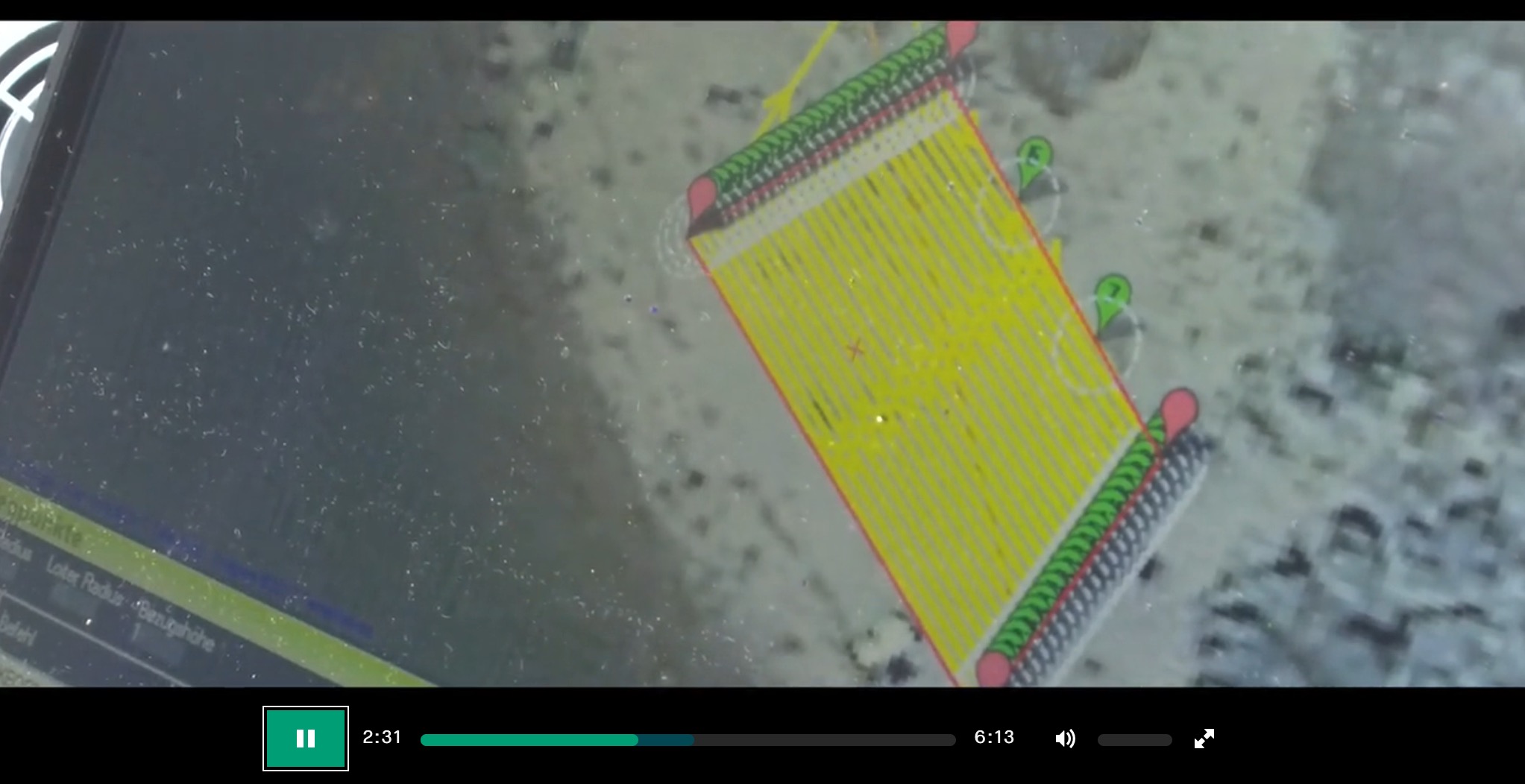
This is the ‘‘deja-Vu’’ I was referencing to @Fnoop… even the asphalt looks the same
Hi,
ok, this somehow remembered me at the Mission Planner I use:
What about that mine searching thing, I have read that many mines cannot detected with metal detectors and that e.g. the University of Ulm is working on uav based mine detection but that thay are working with radar. Anyhow, if you can only scan 20 cm of ground per line, this is a very time intensive task. Perhaps you should even tripple check if you search for mines, so I don’t think that is a realistic application. Do you just claim the mine thing or do you collaborate with someone who is experienced in mine searching?
I think that drone looks very nice, but from a German perspective I would be interested in 3 kindes of mapping tools:
-
a 250g class mapper with the highest possible (image) quality which is relatively cheap (high risk applications, education, low income). I think it should be possible to even implement L1 raw gps data logging in this class. If you combine an excellent lens with a small sensor and raw images you should get useful results under good light conditions.
-
a sub 2000g class mapper with state of the art (image) quality.
-
maybe a sub 5000g class mapper with all possible redundancies (octacopter, power train…) for expensive equipment. I think this class is only for professional users (we have new restrictions upcomming in 2019) and they would not bring their 70.000 € equipment in to the air with no redundancy. At least I wouldn’t. I know people who lost a 35.000€ sensor… . But I don’t think they look into Kickstarter when they look for equipment.
From the innovation point of view I would go for the first one, I might buy one of these. With the right image analysation algorithm you may even be able to detect mines by vegetation or soil structure changes etc. with the same reliability as with metal detectors. Naja, probably not. Maybe with a termal or NIR sensor?
What do you think?
Best regards,
Tobias
Hey Tobias,
Your eyes were not lying. The reason the mission planner looks familiar is because we show a snapshot in our movie of “state of the art drone features in 2018”. The origins of the RadioPlane flight control and planning app date all the way back to 2005 and are the latest version of our programmer’s work.
After some e-mail exchanges and phone calls with Uni Ulm, we finally met with them at mine symposium in Basel last November: https://www.ue-stiftung.org/symposium2017
The Seeker is a sub 5kg drone and the whole reason we went down “modular road” is precisely so we could attach f. ex. a GPR, NIR, etc.
Basically, we reached a milestone in creating a working prototype that can do what it advertises.
We still need to 3D SLAM it, we need to add AI optical recognition, light refraction, etc.
And we need to scale our drone up to over ten times its carrying capacity to truly make a dent in the land mine clearing business.
But the flight control system is functioning quite satisfactorily and adding features and navigating a larger version of itself should go a bit faster, especially if our campaign succeeds.
We are doing what we can to clarify our message and tell our story in more detail. I’ve explained more in this blog post from last night: http://www.radioplane.one/the-radioplane-company-is-developing-an-advanced-land-mine-detecting-drone/ and another post is coming out this evening detailing our call for module developers…
Don’t know if you noticed any changes to our kickstarter drone description, but thanks for heads up on Edison…
Hi,
I would be interested in your ideas regarding ground penetrating radar, especially about the penetration depth and the application. I only know these heavy boxes you have to draw over the surface.
Tobias
There´s a lot to developing a solid GPR system for UAVs. From the gimbal to the radar antennas, from energy consumption to weight, fine tuning the drone, specific flight patterns, etc.
Uni Ulm has done some impressive work in this area. We do not feel that it is our place to discuss their project, but we are very impressed by, among other things, energy efficiency, weight, etc. and hope we can continue down that road with them soon.