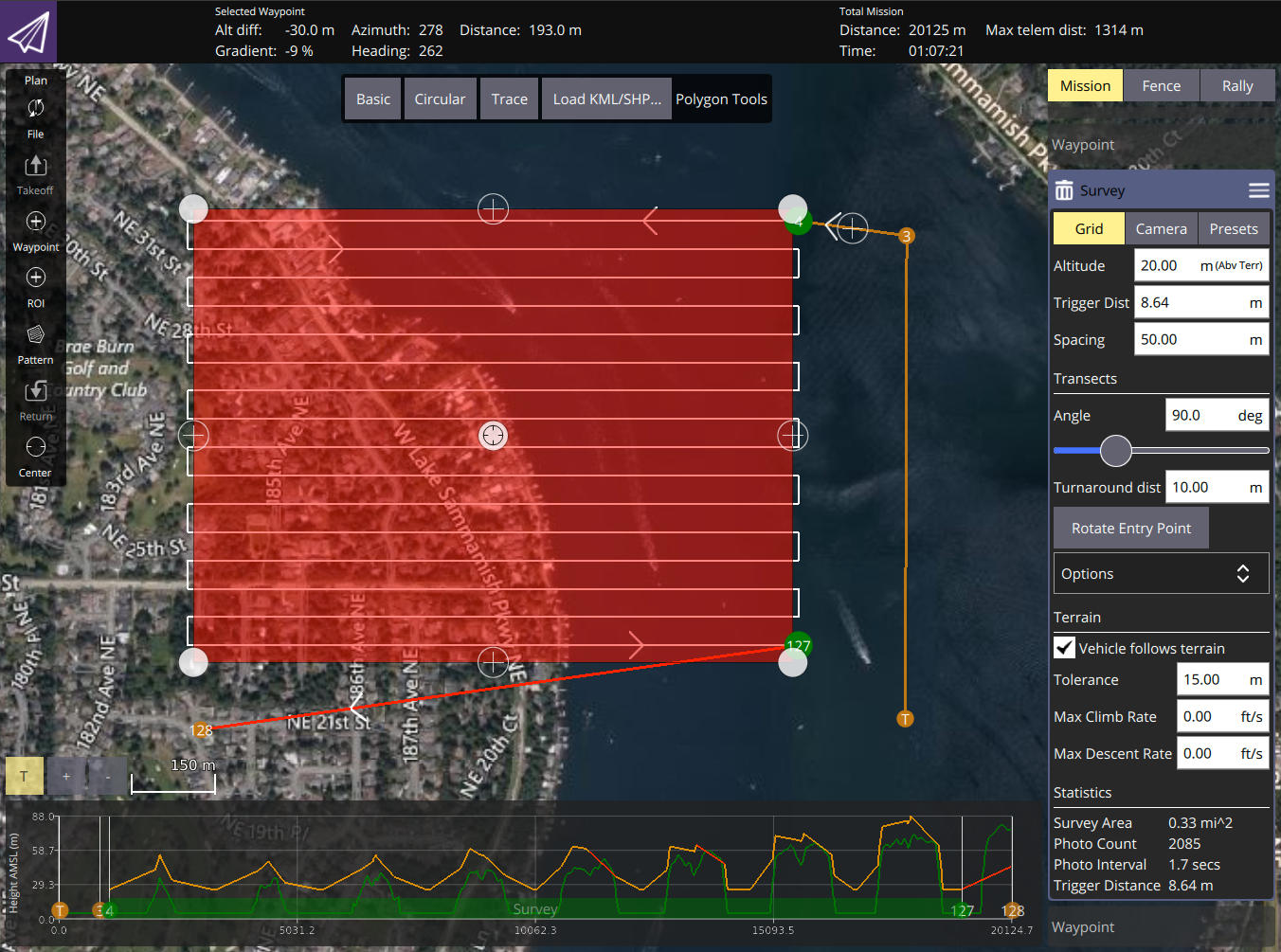
If you are a hardcore user of QGC for things like Surveys and so forth I’d like your feedback on this new feature. I just added a major new feature to QGC which allows you to visualize the terrain under your mission as well as identify portions of your mission which will collide with terrain. I would like to collect feedback (only) at this point to help drive the feature forward. More details about how it all works can be found here: https://github.com/mavlink/qgroundcontrol/issues/8698. This GitHub Issue is also where I would like to collect feedback on it. So discussion/questions here are fine in the forum. But serious feedback in the issue please.
Example visual: