The Ardupilot team is happy to welcome and pleased to introduce three new partners: Air-Supply Aerial, NOVAerial Robotics and TerraPlane LLC.
A bit more information on each company, in their own words:
- Air-Supply Aerial, based in the United States, is an Unmanned Aerial Systems Company focused on bringing the highest quality commercial sUAS equipment and knowledge to its customers. They provide ready-to-fly systems, parts, service, and support to many commercial and hobbyist applications. Their roots are centered on the open-source community and they aim to continue serving those with similar roots. They are committed to catering to the world of sUAS and hope to provide the best platform to build, design, and purchase autonomous systems and parts to meet and exceed your expectations.
-
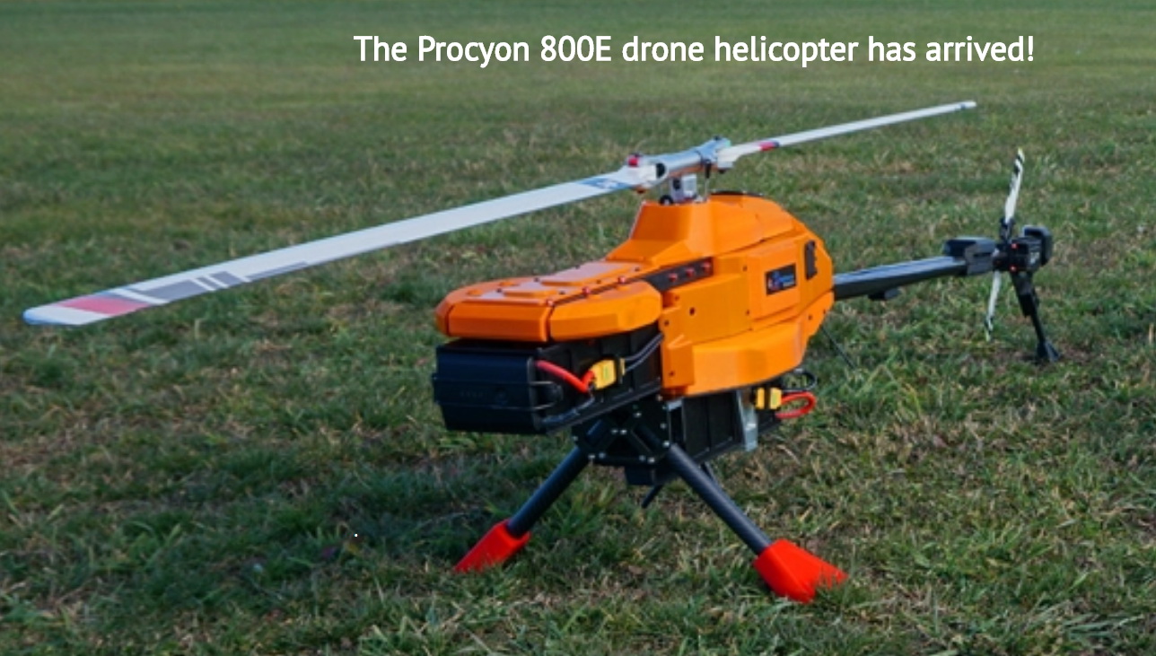
NOVAerial Robotics, based in Canada, was founded in 2014 by Robert Lefebvre. NOVAerial Robotics Inc was incorporated in 2017, and Robert is currently serving as the Managing Director.
Robert got started in the UAV industry in 2011, and has been one of the lead developers of the Ardupilot project during that time, with the major focus on helicopter and multirotor flight control. His knowledge of physics, vehicle dynamics, control systems and human factors engineering have helped Ardupilot evolve into the high performance and reliable flight control system it is today. He is the leading Ardupilot expert in Canada, and has worked with commercial companies and universities around the world. A recognized expert in UAV rotorcraft design and control systems, including not just multirotor drones but also conventional helicopter designs, he is keen to promote helicopters for their numerous performance advantages over other systems.
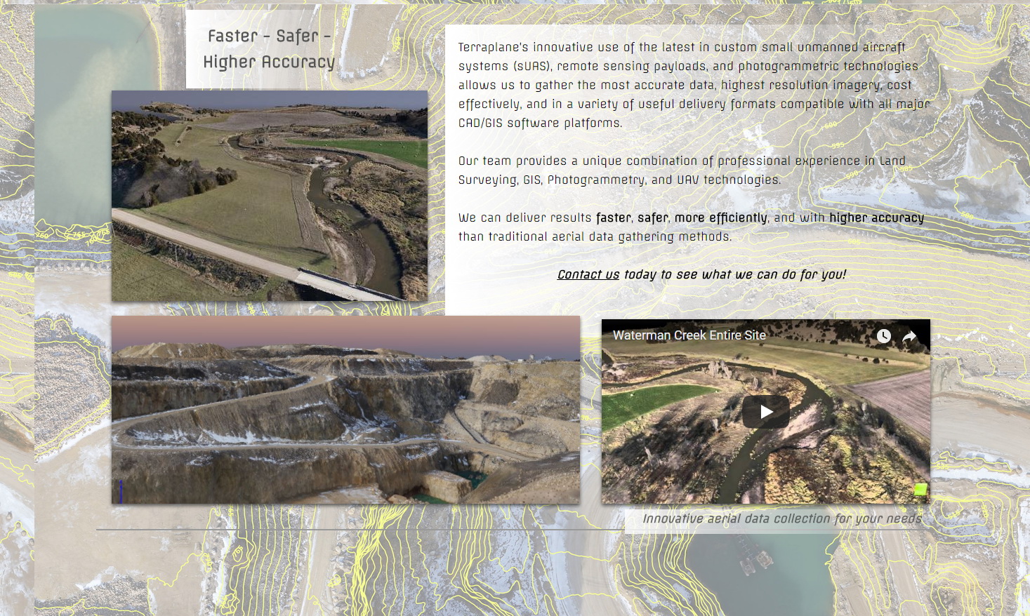
- Based in the United States, Terraplane’s innovative use of the latest in custom small unmanned aircraft systems (sUAS), remote sensing payloads, and photogrammetric technologies allows them to gather the most accurate data, highest resolution imagery, cost effectively, and in a variety of useful delivery formats compatible with all major CAD/GIS software platforms.
Their team provides a unique combination of professional experience in Land Surveying, GIS, Photogrammetry, and UAV technologies.
They can deliver results faster, safer, more efficiently, and with higher accuracy than traditional aerial data gathering methods
When buying products, please consider purchasing from one of the ArduPilot partners.
If you or your company are interested in becoming a partner, details are available here
on our partners page.
Welcome all, and thank you for joining Ardupilot’s Partner program!