From the early days back in 2008, AltiGator has been building UAVs integrating promptly the Ardupilot technology and faithfully followed its development all along the years.
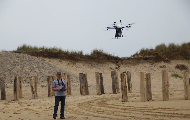
Today Ardupilot empowers the flagship of our fleet, the OnyxStar XENA which is also the flying platform for our LiDAR survey system called OnyxScan.
Thanks to the Cube and Ardupilot, our flying LiDAR system is perfectly integrated to the drone.
Completely automated, the OnyxScan LiDAR operates autonomously from take-off to landing, leaving surveyors free to focus on tasks that require their expertise.
The OnyxScan aerial LiDAR drone is the ultimate solution for topographical and specific low-altitude surveys for any type of mission requiring performance, precision and speed of execution. XENA is a precise, reliable and efficient UAV taking benefit from all of the operational and safety features implemented in Ardupilot.
Light Detection and Ranging (LiDAR) is a surveying technology allowing to generate accurate Digital Terrain Models for applications in multiple industries.
Used in geomatics and geodesy, archaeology, mining and quarrying monitoring, forestry management, environmental survey, and other areas, this turnkey aerial LiDAR is designed to be quickly deployed on the field. Built to operate even in high demanding conditions the system needs only a few minutes to be operational in cold starts, while hot restarts are instantaneous. The time required to start collecting data is therefore dramatically short.
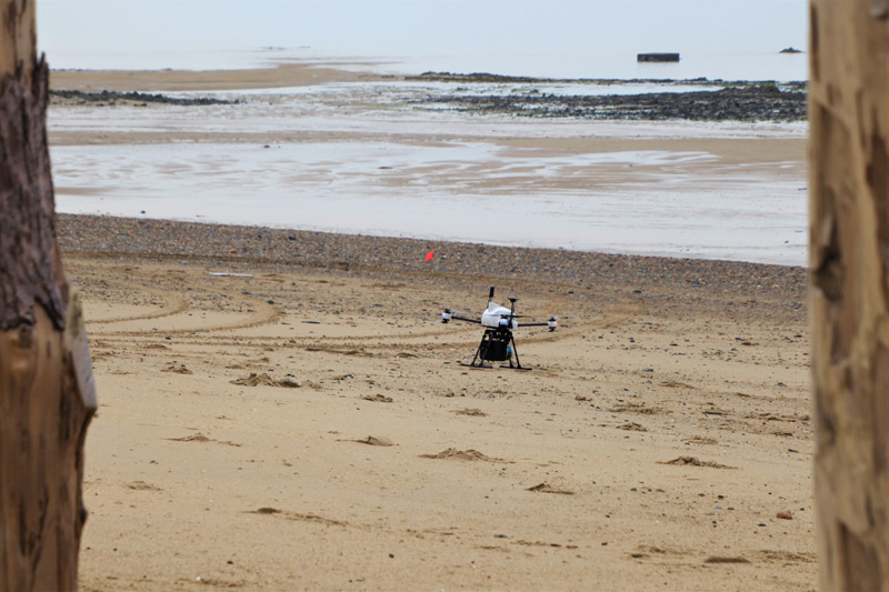
The solution has multiple telemetry links providing useful data from the drone and the LiDAR. OnyxScan is foreseen with a wireless connection for ground and post-flight operations. Designed for off-road missions, our solution is extremely compact thanks to a take-off weight of 5.6 Kg only, being able to fly up to 25 minutes.
Between other remote sensing projects, OnyxScan is used for coastal erosion and sand movement monitoring, as illustrated below on Normandy beaches: