When I create a flight survey grid and want to export it to a KML file to be viewed in google earth the file generated has no gps data. I have tried several versions of mission planner, the only versions that work are 1.3.32 and older but then I lose a lot of functionality running these older versions. When I open the kml file in google earth it says "network links’’ and has no data. i’ve tried converting the file online and it clearly states there is no data in the file. I’ve tried every version of mission planner starting from the newest down to 1.3.32, they all do not generate KMLs that work.
Anyone else have this issue? I use these flight tracks in my full sized aircraft for my autopilot to fly so it’s imperative that this feature works.
you never mention what firmware version, hardware version and what type of vehcile you are using. please provide more info. At a guess though you are running an older version that is no longer supported
I’m using the kml file on my full sized aircrafts avionics but that’s irrelevant. The issue is the software, it is generating KML’s of flight tracks with no data. I’m also running mission planner through parallels on a mac with latest windows, maybe parallels is the issue but I can’t see why it would be. I do have a pixhawk but that is not relevant for this issue, I’m creating a survey grid and trying to generate the kml so I can upload to my plane for autopilot to fly the lines. It used to work but again all the latest versions of mission planner are generating kml’s with no data.
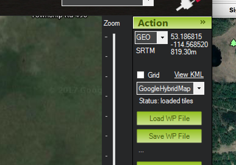
Hi Here’s a screenshot of the “View KML” feature i’m talking about. When I select view kml it should create a kml file of my survey grid flight track. But it doesn’t, the file is empty, when I load the file into google earth it says “network links” with no flight line data.
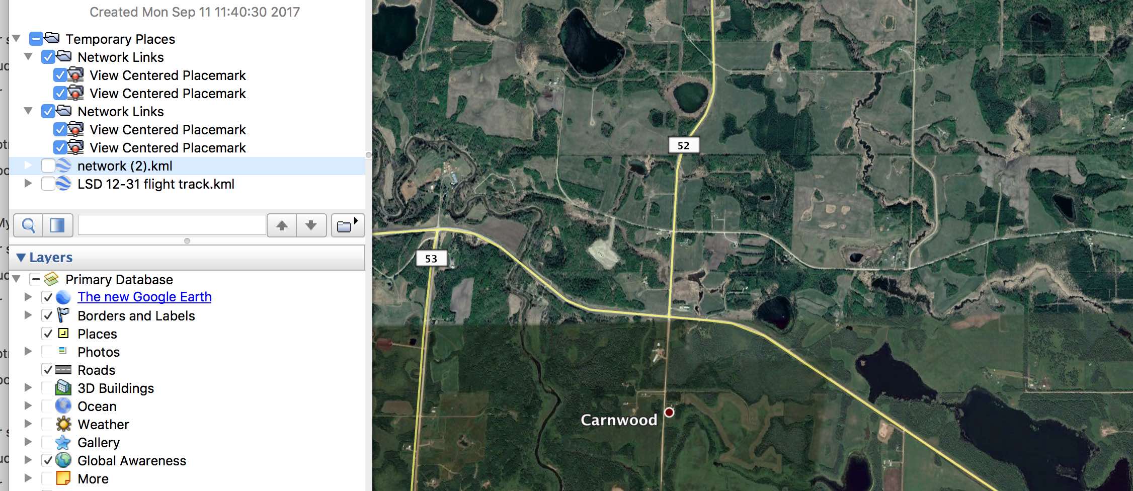
This is a screenshot of Google earth after trying to open the mission planner generated kml file. The program used to generate kmls that worked but now they do not have any data.
I am running mission planner through parallels on a mac so maybe that is why it’s not working, i’m assuming this is a feature used by many people.
Thanks for suggestion but that didn’t work. Entered in those addresses into explorer, “cant reach this page”. Very annoying that this doesn’t work and it used to. My thinking is that this is a mac/parallels issue, since no one else seems to have this problem. Is there any other way to save the kml file or convert the mission wp file?
Did this get resolved? I can’t get a path in Google Earth. I get all the waypoints, but what I really need is the path on the ground. It allows me to export it back into Mission Planner where I can follow the path and add waypoints between the legs in complex terrain.