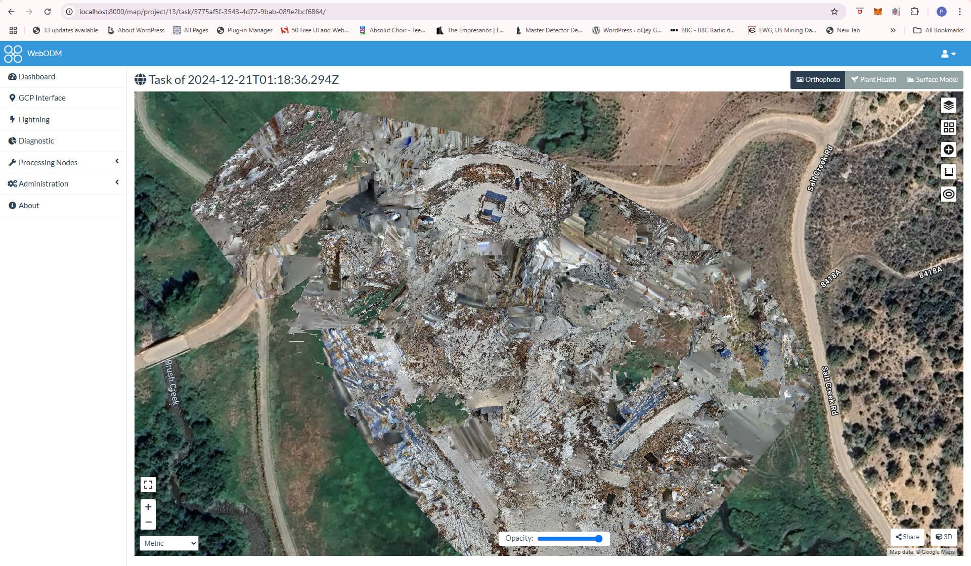
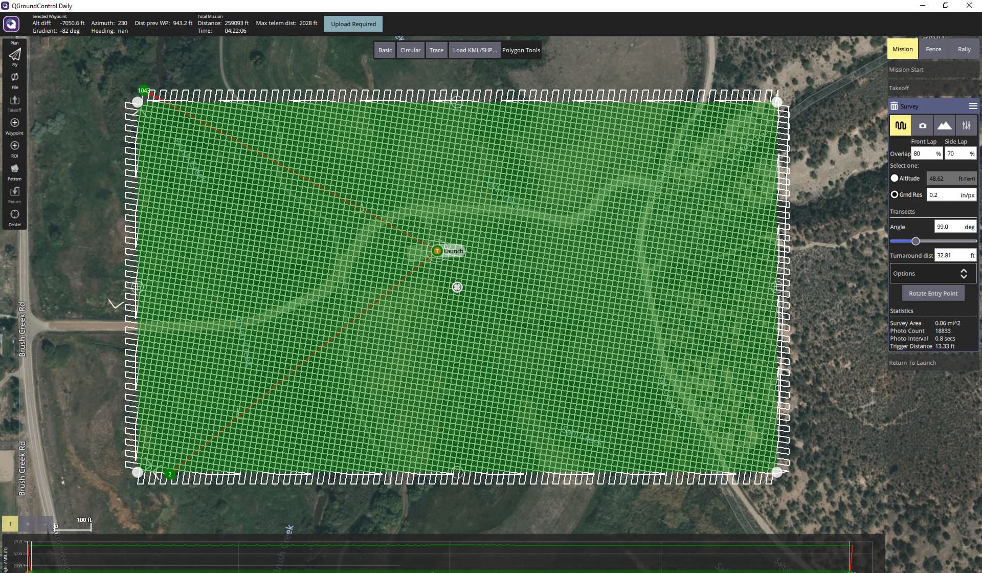
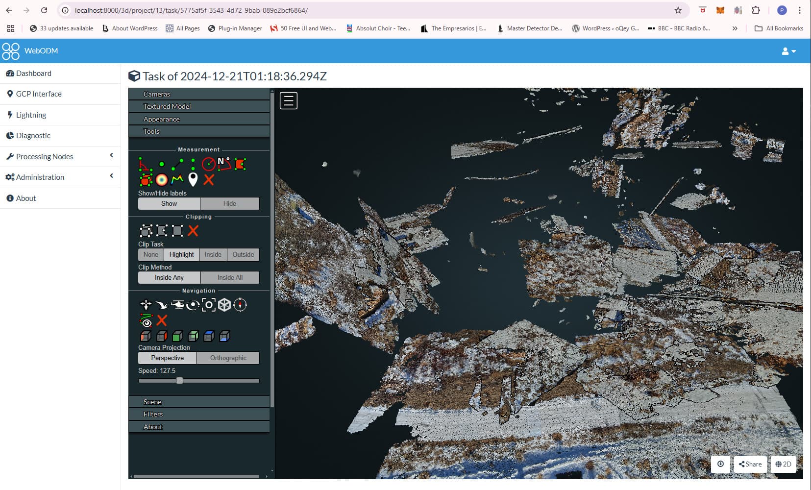
I have an A8 Mini attached to my Cuav v5+ . I believe everything is set up correctly, however the images are all blurry and the 3d models shows on several different planes. The process I use the geotag the images is from MissionPlanner logs and running their geo tag function on the log panel. Then I run the images through ODM. I am flying at 11.2 mph. What am I doing wront?

1 Like
Spit balling some ideas here: any chance there was some zoom used on the camera during the flight? That will mess up geotagging as well as the processing algorithm.
The speed seems reasonable unless the light was low and then the images may have motion blur. Especially given the low altitude.
1 Like
Where is the appropriate place to check if the zoom is enable I used Siyi FPV and seems like its just set to 4k.
I was just looking at the specs of the camera, I’ve never used it myself so I can’t say.
One other comment, the GSD you have set seems really ambitious. I usually work in metric so I have to think about the freedom units, but even with dedicated survey drones/cameras like Wingtra or DJI P2, we’re usually at least +70m 230ft, often 100 to 120m (300-400ft). I’m wondering if the altitude is just too low and that’s creating havoc of the processing. I don’t do the processing, I leave that to the smart folks so I can’t really offer much more.
1 Like
Allis and all,
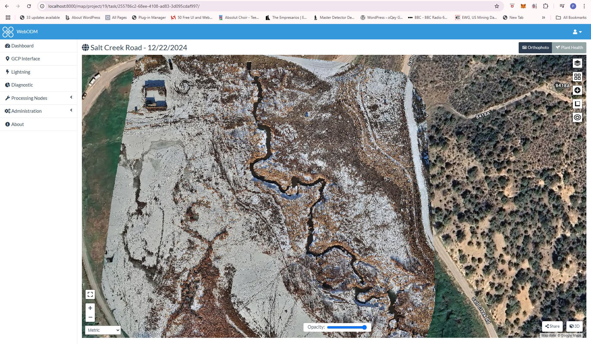
I this all fixed.
- I upgraded both the firmware for gimbal and the camera (remember to use a Fat32 ssd for the camera)
- Adjusted the parameters in ODM to fast-orthophoto:true, feature-quality:ultra, matcher-neighbors:16, matcher-type:bruteforce, min-num-features:6000, sfm-algorithm:planar, texturing-skip-global-seam-leveling:true. These values were generated with Chat GPT.
1 Like