Hi everyone,
I have to plan a drone mission.
But, on the map, I’m not able to recognize the aera where it stands.
So I would like to be able to position with the name of the city so that I can easily zoom.
Thanks forwards
JF
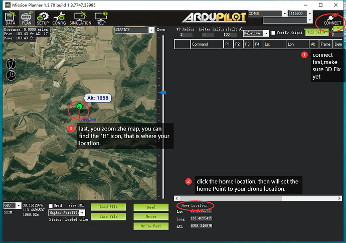
You can go to Google maps or Google Earth, get the Lat/Long of the area you want see. Go to Plan page, right hand side, type in Lat/Long in Home Location. I don’t think you can search for areas in MP by name.
