I need to fly out as long as possible along the track (think a line) between mission item 7 and 8.
Then return 50m south of said line.
I wish to see the estimated flight time.
If I change mission item 6 - to be a delay or something, then a line between 7and 8 will be drawn, and I can align the line between 2 and 3. but at the same time, the flight time will include the “helping lines” 7,8.
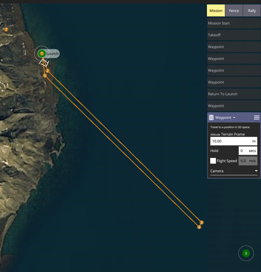
Is there a way that I can see the line between 7 and 8, but not take it into flight time calculations?
It would be nice to have the option to have non-mission markers or lines to help plan some type of missions.