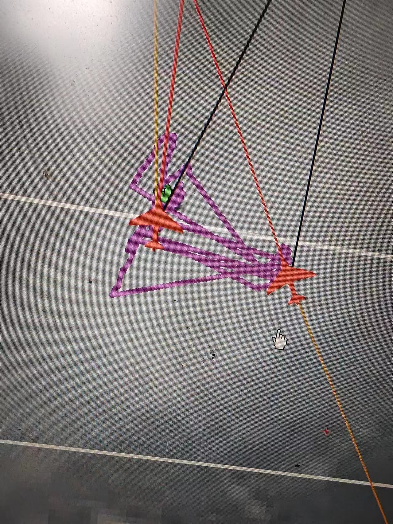
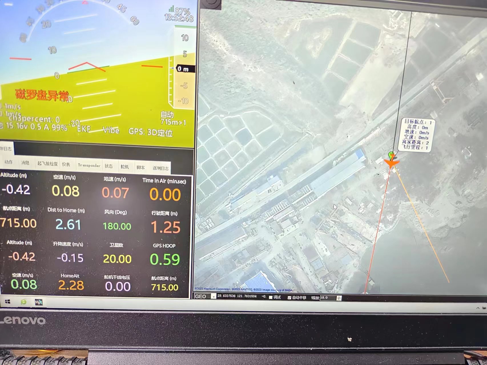
How do I get the plane on the map to show real-time data
Don’t ground stations have real-time data anymore
How do I get the plane on the map to show real-time data
Don’t ground stations have real-time data anymore
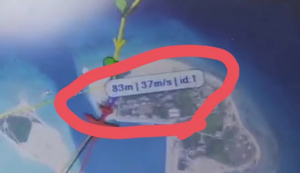
They can only be accurate if the GPS receiver has acquired a fixed solution.
Do you have a clear view of the Sky?
I’m sure the sky is clean
But another ground station can display real-time data all the time, with or without positioning,
You realy, realy need to provide more details.
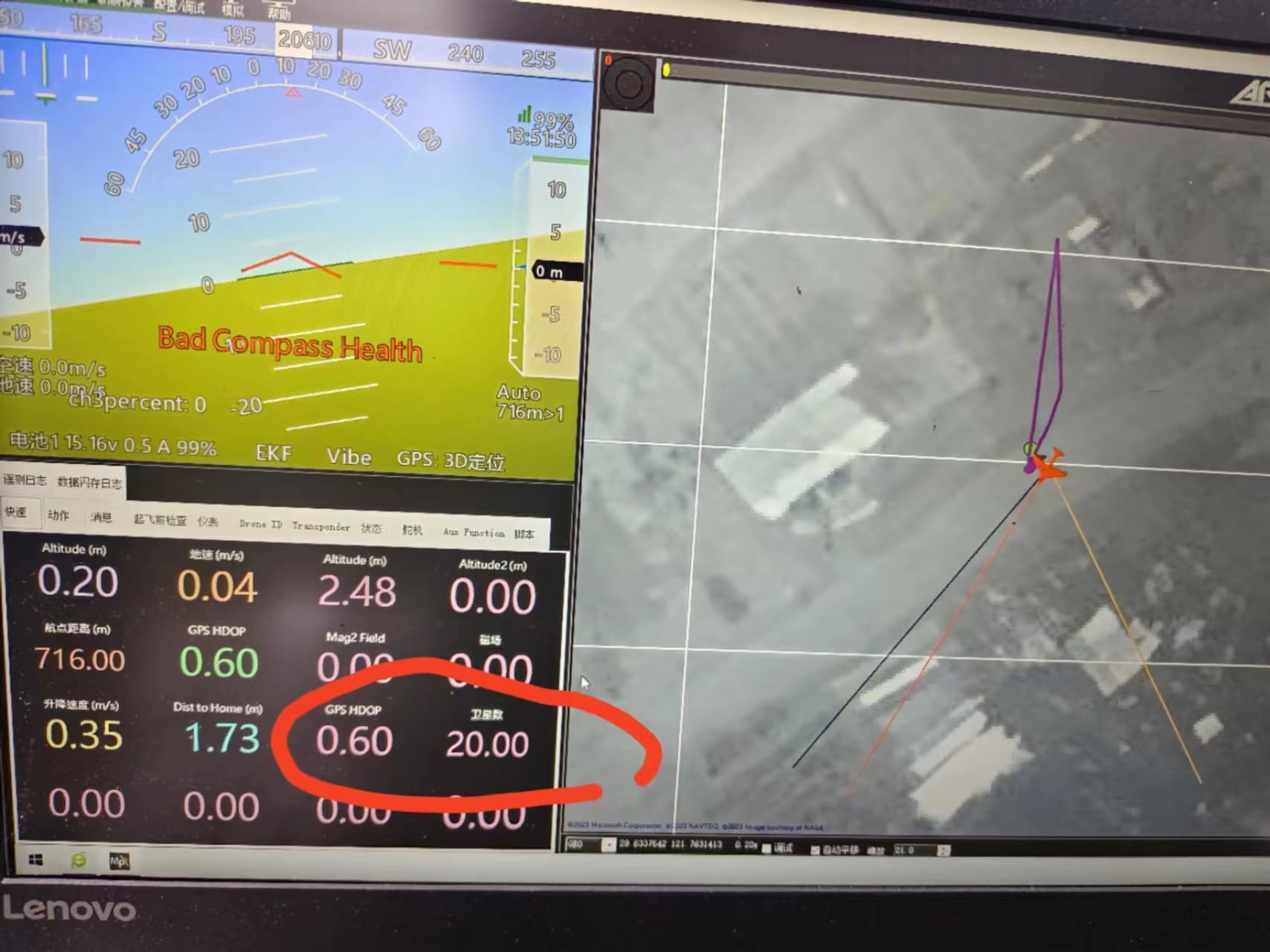
Which telemetry link? Which arduPlane version? how is the telemety link configured? which GPS? Which GPS firmware version … etc, etc.
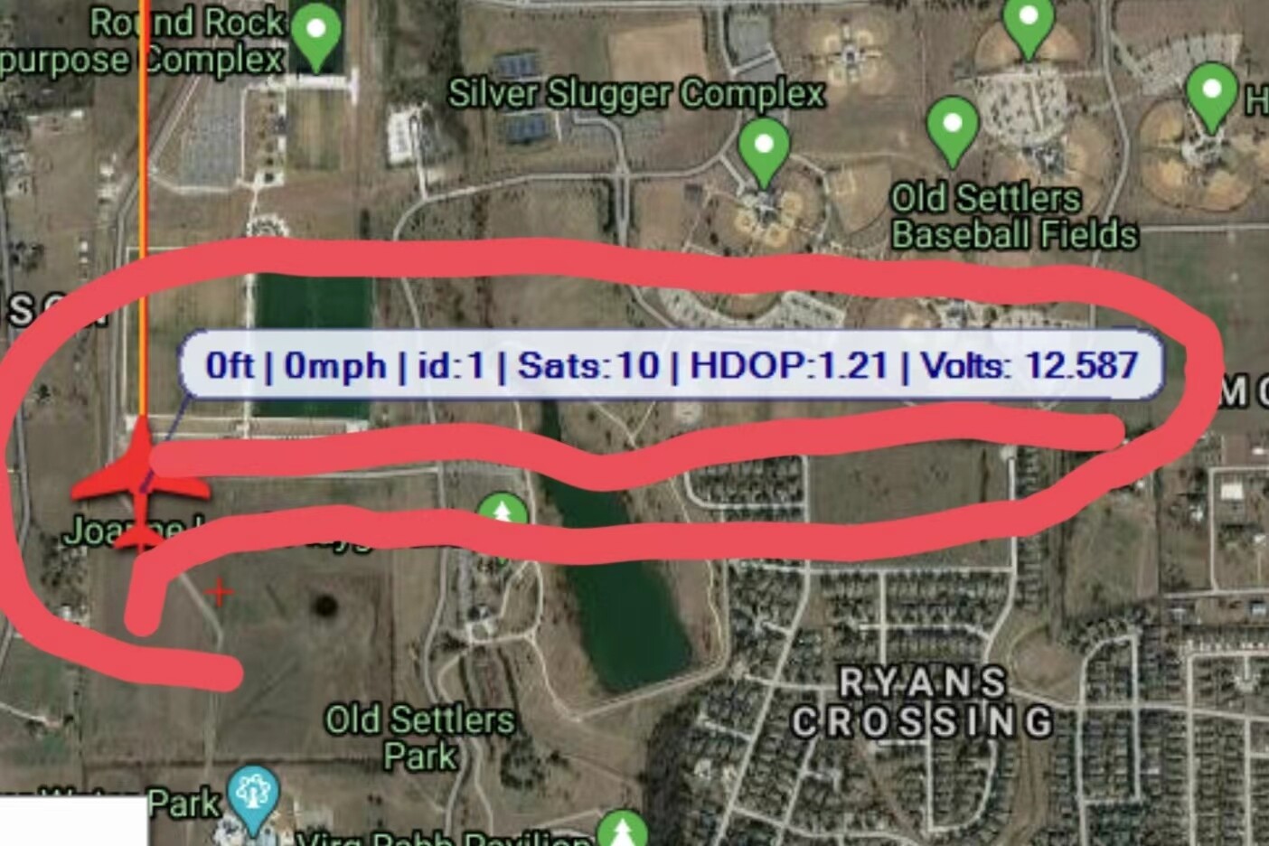
When realtime data at the map display on one ground station is ok and on another not, then I assume there is a problem with that Mission Planner installation. I would suggest to delete the file config.xml in the Mission Planner folder, this resets the configuration after restart of Mission Planner. Or install the hole Mission Planner again.