Hello
I’m using a HexHereFlow sensor (with LiDAR Lite V3 I2C) with wiki guides and flying a very stable in “Loiter” mode! But when I want to increase the altitude (even with 100% throttle), my DJI S900 with CUAV-X7+ cannot increase the altitude.
It appears 3 times. The first in 1 meter, the second in about 4 or 5 meters and the last in 20 meters!
Altitude reported wrong in the MP(I’m guessing because the altitude relative to the home is wrong in the logs!) and when I try to increase the height, it doesn’t even increase the wrong value.
Does anyone know how to solve this problem? Is there any limitation for altitude when using optical flow sensor?
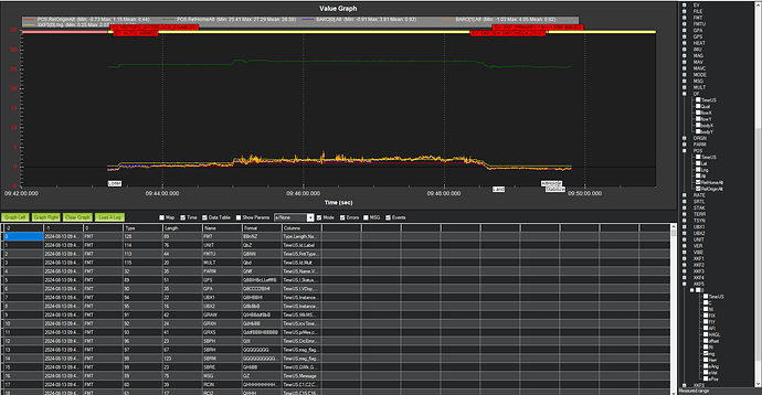
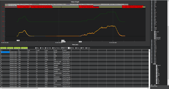
Here is a screenshot of the height reported in the reports:
This is the first!
And this is the last!

