Hello,
I have some questions with the altitude when geo-tagging images.
-
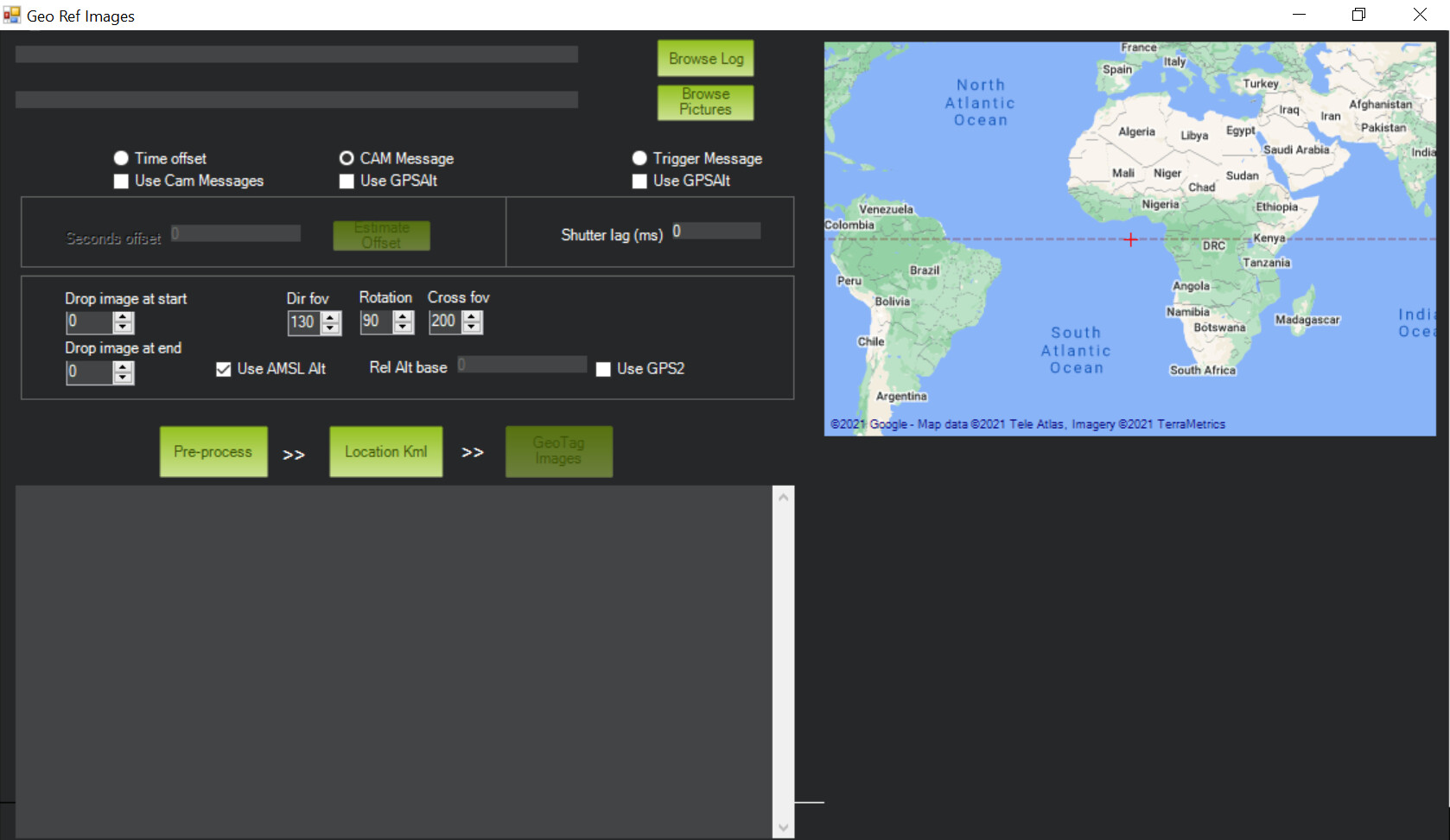
How to get the Rel Alt base to work? If I turn of ‘Use AMSL Alt’ and set in a ‘Rel Alt base’ it does not seem to effect the altitude of the metadata.
-
When I check the ‘AMSL Alt’ check box and run the pre-process I get a error message saying ‘AMSL Alt not found’, why is this?
-
There is a check box ‘Use GPSAlt’ but this seems to give very inaccurate altitude metadata, why is this? If GPSAlt is not checked is the barometer altitude then used?
-
I have noticed that the layout of the Geo Ref Images program in Mission Planner is different to the instructional document in Ardupilot. When will this be updated?
Geotagging Images with Mission Planner — Plane documentation
Here is a image of how Geo Ref Images looks on Mission Planner 1.3.75.
Greetings,
Thomas.