Garmin Synthetic Vision Technology look-alike for Mission Planner

Hi there,

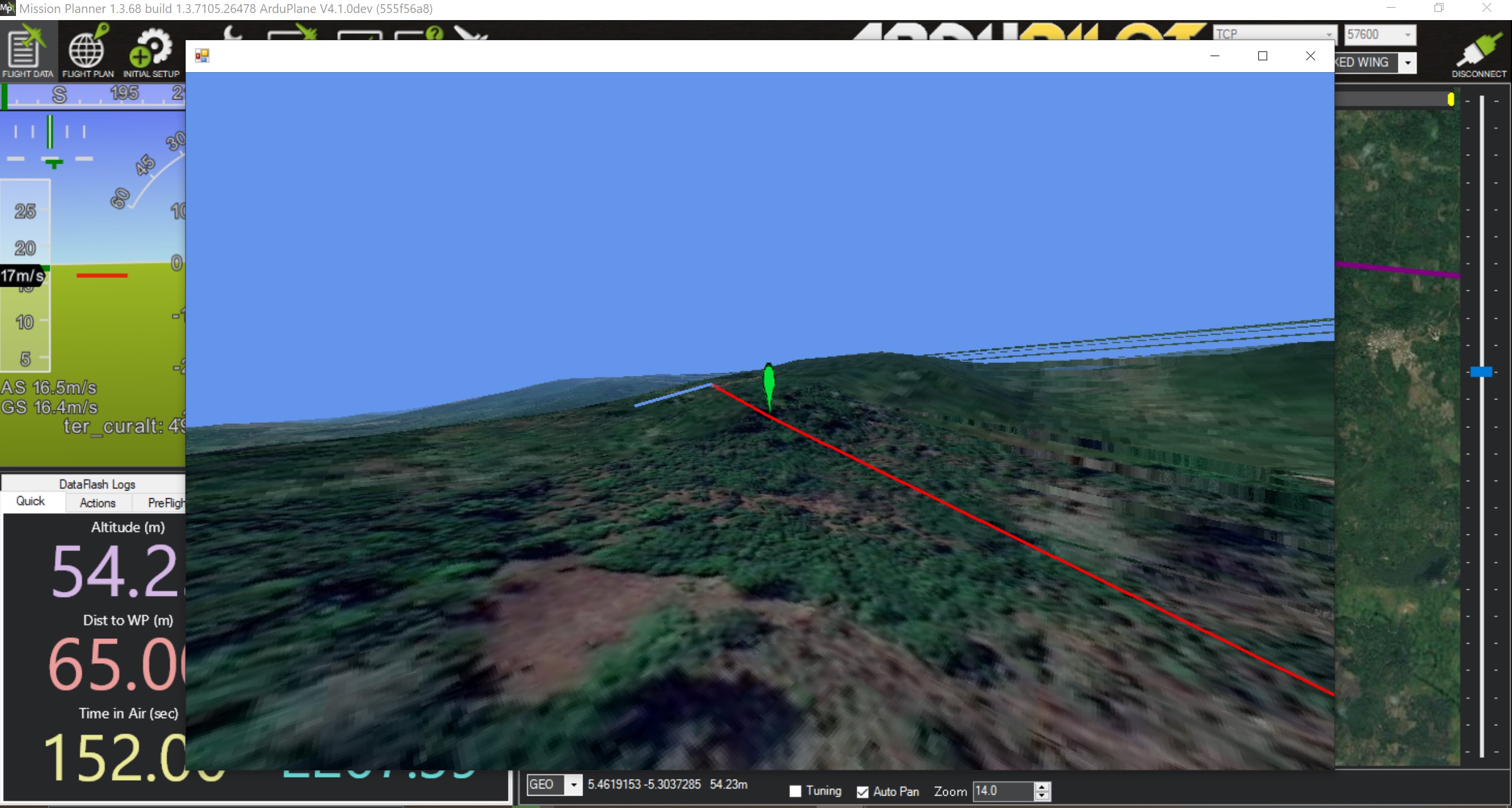
I don’t know if a lot of people saw that, but it possible to get a 3D terrain and map navigation aid in mission planner, with each waypoint and the track

It’s an awesome start, would love to see this on the background of the HUD, or HUD information printed on it.

Cheers to the guy who made it :wink:

Benjamin

Thanks for sharing this. Could you tell how to get the 3D flight path to show?

this has been there for about a year, there are still a few bugs, and requires alot more cpu to do this.

i find alot of users use very poor spec’d devices out in the field. so it makes things like this not really possible

oh one extra thing.

if you click the map while in guided mode, it will fly to that location

2 Likes

Generally I am doing is writing mission do the drone or simu, then reading it

Hey Michael,

I have a ground station running first version of LattePanda, I will try it and give you some feedback

Ok, so no way to use it, MP is crashing 15 sec after starting 3D map, but I am wondering if it could work better with a m3-8100Y and it’s 615 GPU included chip

Edit : Ok, I tried on a HD620 chip and the frame rate is about 2fps. I would like to try with something worse. but how do I force it to use the GPU on CPU, just going on the Nvidia control panel and force MissionPlanner.exe on it?

the key to that interface is opengl support. ensure you have up to date graphics card drivers.

1 Like