Hello,
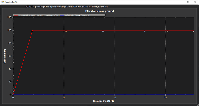
I have installed MP 1.3.79. I’d like to check Elevation graph, but some areas just show flat blue line. I’m pretty sure there’s data in Google Earth for the area of my mission because I’ve checked it myself.
I see this issue was common some time ago. Is there any steps I should take to make MP grab elevation data from Google Earth?
Thanks,
M
