Hi. I have two concerns.
-
Is it possible to know the heading of the drone with respect to the actual North while taking images? If so, how can I get those values?
-
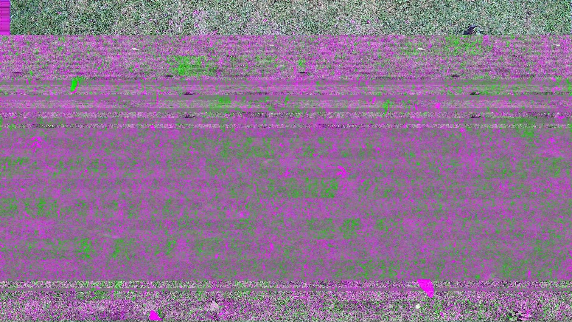
I am using the SIYI A8 mini-camera. While on the mission, it does not take the number of images that the base station suggests. And most of them are corrupted images. Has anyone faced similar issues? Any suggestion for that??
I really appreciate any help you can provide. Here is a picture taken by SIYI A8 Mini for reference.