Hi, I was hoping someone can help me with this. I am trying to Geotag Pictures with Mission Planner. For some reason, it does not recognize the time of when the pictures were taken,; although it is very clear that the property is ttime is stamped in every single picture as seen in Windos File propertites. Does any one know why?
I’m afraid I don’t have an answer but I’ve changed the category to “Mission Planner”. it was set as Blog meaning it was appearing on the front page of ardupilot.org.
Thanks a lot. The pictures show the time and date they were taken (EXIF), but Mission Planner in two different comouters, can not geotag them
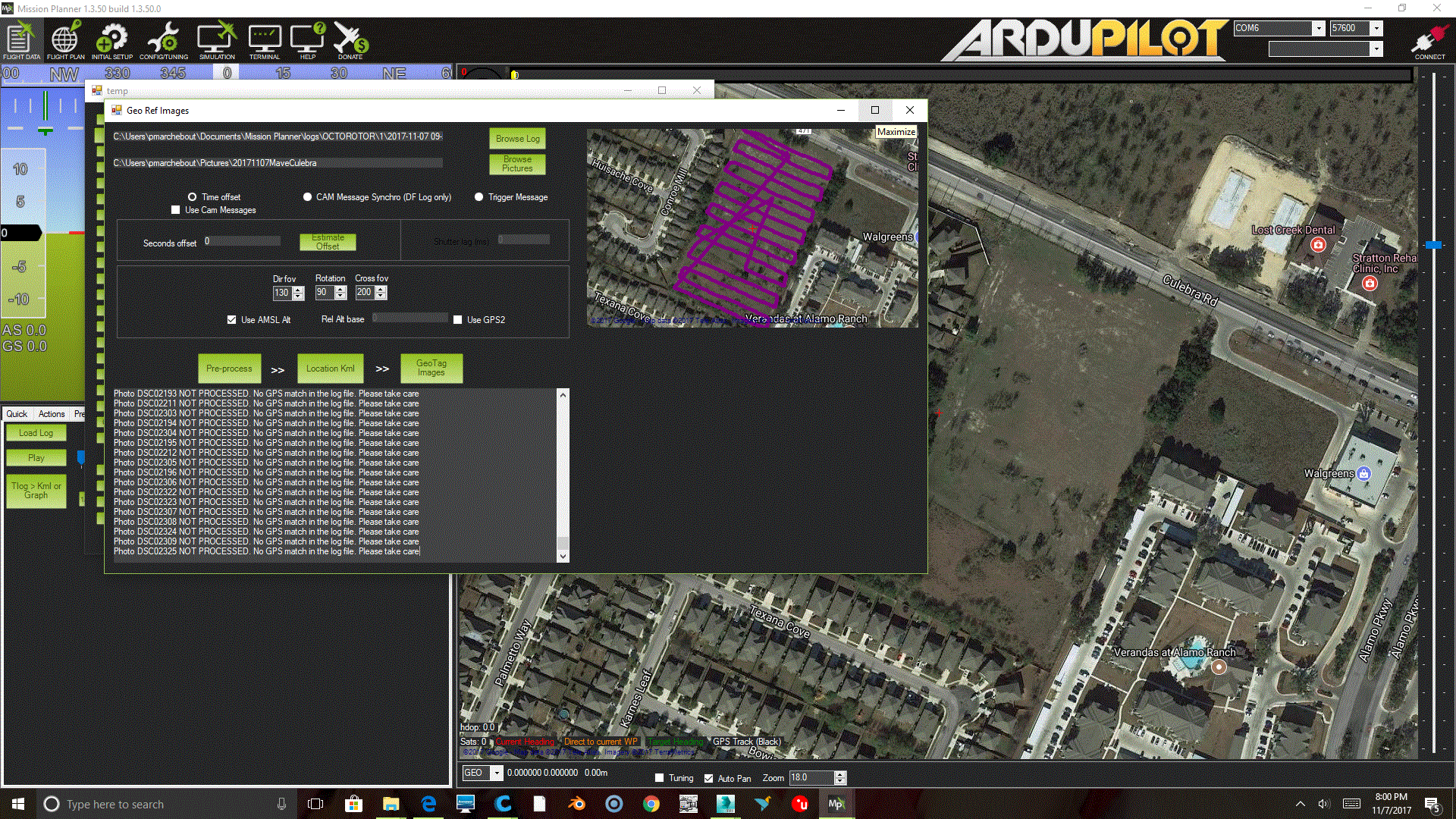
as you can see the Map shows the trajectory, but it can not see the timetags on the pictures
Solved. I just updated to the lates Mission planner Beta.