rdupilot, I have some doubts that can resume in two big issues:
• Actually, only the Rover configuration allows to logger of the depth data, from sonar, in the variable DEPHT. I am not sure about that, but I haven’t found any reference to this feature in another version (taking into account that is necessary the FRAME_CLASS parameter should be set to “2” (Boat) in order to support sonar devices).
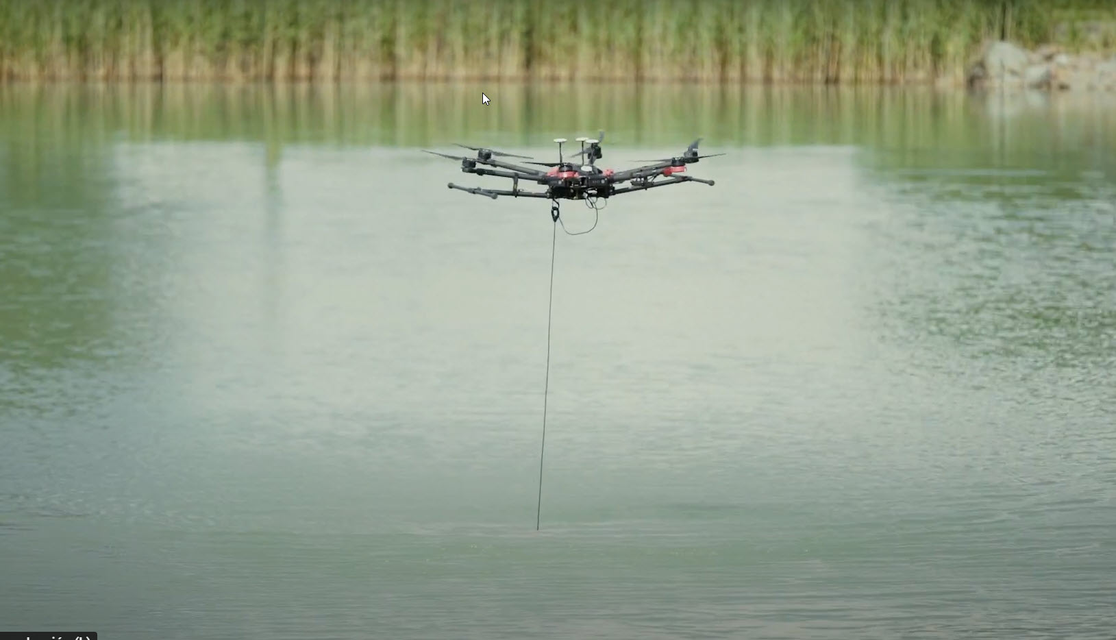
• In order to maintain a precise altitude over the water surface is necessary to use a rangefinder. But, despite of each can use a different serial port, both, sonar and lidar, have to use the serial “protocol” 9 (lidar), and RNGFNDX_ORIENT as 25. I don’t know if both can works in parallel without issue. Thinking that both show their value in the variable SONARRANGE, perhaps there exists some kind of issue to resolve.
I don’t know if it is within what is technically feasible, but it will spread the possibilities of thinking to hard-to-reach areas. I hope someone can help is this project.
The DPTH logging is only available in the Rover/Boat firmware but perhaps we could either re-do this logging in a Lua script or perhaps make a special build that includes the logging in Copter. I think we would also need to set the sonar’s RNGFNDx_ORIENT parameter to something other then 25 so that it doesn’t interfere with “surface tracking”. If there were no other downward facing lidar/sonar we could just turn off surface tracking (there’s a param called SURFTRAK_MODE) but I think you want the real downward sonar/lidar so the boat maintains a specified alt above the water.
Thank you for your reply. I think DPTH can works as you mentioned. About the sonar and rangefinder setup; as you said is critical that the multicopter maintains a specific altitude above the water, in order to get consistent deep data from the sonar. Besides this surface tracking behavior has to works in autonomous mode, (AUTO MODE). I don’t know if SURTRAK_MODE is suitable for that in the current state (I think is the same necessity of multicopter for agriculture works, that has to fly at a very low altitude). Referring to RNGFNDx_ORIENT, as sonar and rangefinder have to orientate downwards, I don’t know if using a value like 0 (forward) the sonar can get the Deph data in the normal way, without issues. If can, It will resolve this detail.