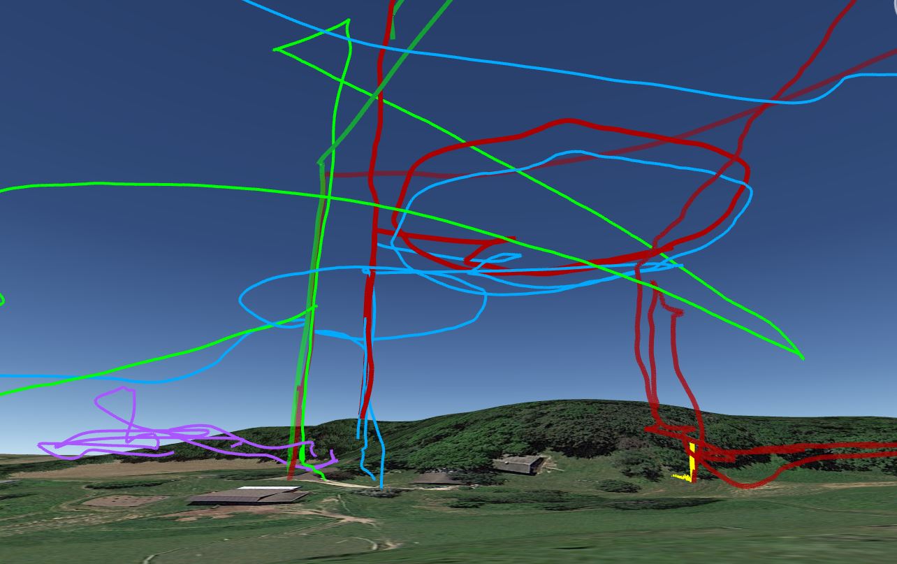
Working on my AR with the Sky Viper Journey GPS Drone.
The red dot is a GPS point used for calibration. Should have a flight demo this week if the rain will stop!
3 Likes
This is an interesting application. The whole approach of using the SV as a platform to collect data as raw material for transformation is rich, to me. What a machine.
BIN to KMZ to Earth FPV