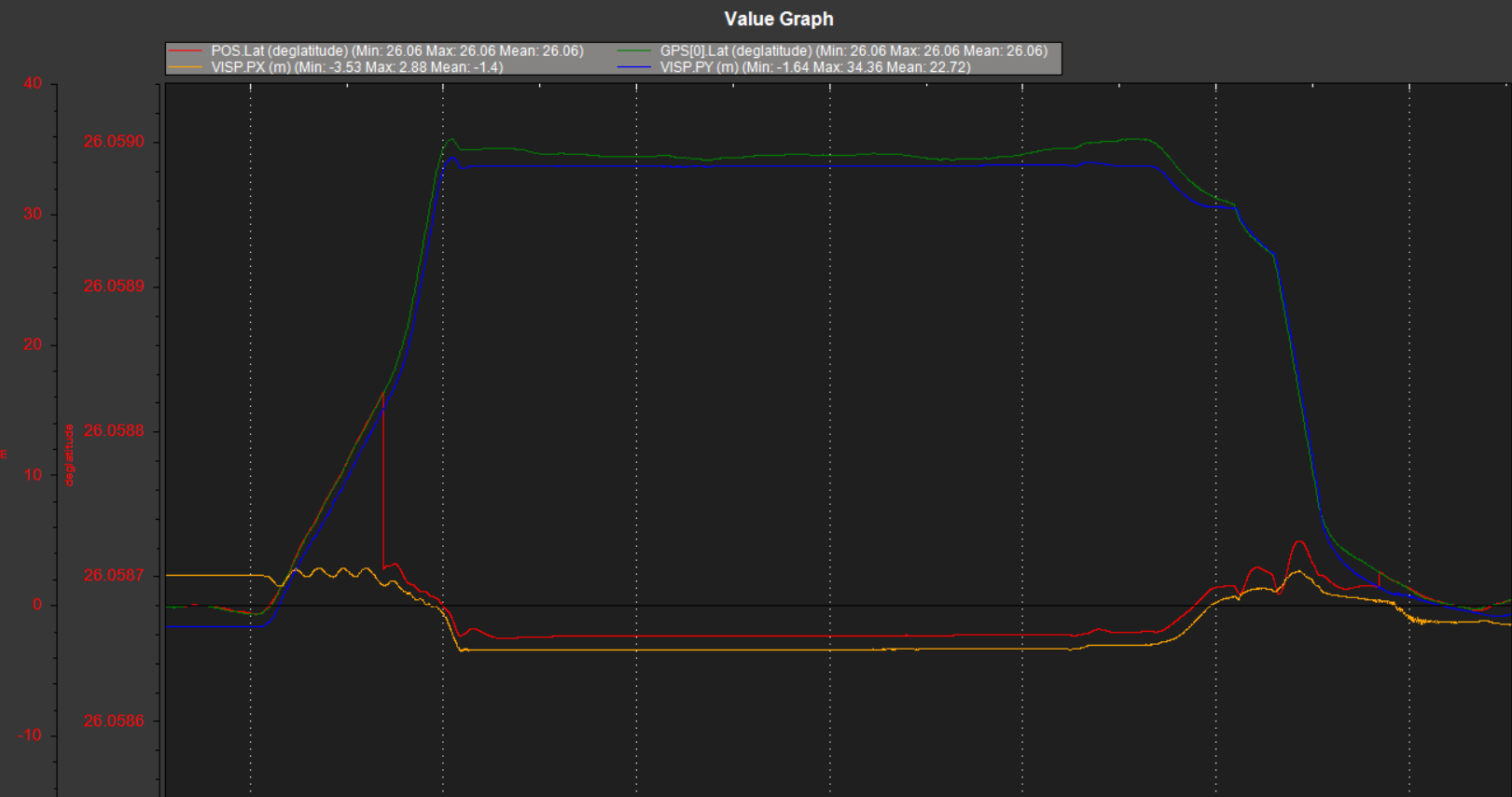
After completing the GPS and extNav (rplidar) positioning source switching experiment, I checked the log data and found that the POS data is based on the source to obtain the location data of the corresponding source. However, when switching from GPS to extNav source, POS obtains data that does not correspond to data. For example, the lat data of GPS source corresponds to the y-axis data of extNav, and the lng data corresponds to the x-axis data. However, POS uses the GPS source. lat data, when switching to extNav, the corresponding x-axis data is taken
It seems that the coordinate system cannot be aligned?
Can anyone tell me what happened here? Why can’t the data be aligned?
If the VISO_TYPE is set to 2 (“T265”) then it is possible to align the two coordinate systems. Both VISO_TYPE of 1 (“MAVLink”) and 2 (“T265”) both accept mavlink messages so they can be used interchangeably. I originally separated them so as not to risk breaking the simpler method.
By the way, in general if you could include the binary log file with the report that’d be great.
@rmackay9,
Thank you for your reply. I set VISO_TYPE to 1 before, do you mean that I shuold try to set VISO_TYPE to 2?
Yes, that will allow an auxiliary switch to be used to align the frames. I think there are some more details about the setup on the ArduPilot T265 wiki page.
Thank you so much, I will have a try. 
1 Like