Michael,
Thanks for your reply advice.
However,
My Mission Planner (MP) was automatically installed under a different
directory (not C:\ProgramData\Mission Planner).
No ‘ProgramData’ folder is found on my C drive.
My Mission Planner was automatically installed using the following
directory,
C:\Program Files (x86)\Mission Planner. This installed on corporate
work computer, using Windows 7.
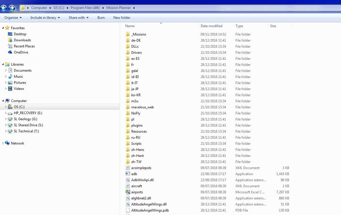
Under my MP directory, no srtm folder was created. (see image capture of my
MP Directory).
If you kindly send a web address for a trusted MP download, I will
reinstall a clean copy.
Given Google Earth (GE) vertical data is very different (as much as 100m
above developing open pit elevations), and also given variations in slope
direction are also very different to GE. Also, given terrain slope is very
steep 30 - 40 degrees, terrain hugging is highly advantageous for
photogrammetry.
As for MP using custom vertical data (GeoTiff), we in the mining world
deeply desire this capacity for our drones to hug custom mine terrain.
As for MP development, It shines above all others. Well Done!
Alan (Jonty) Seymour