Hi,
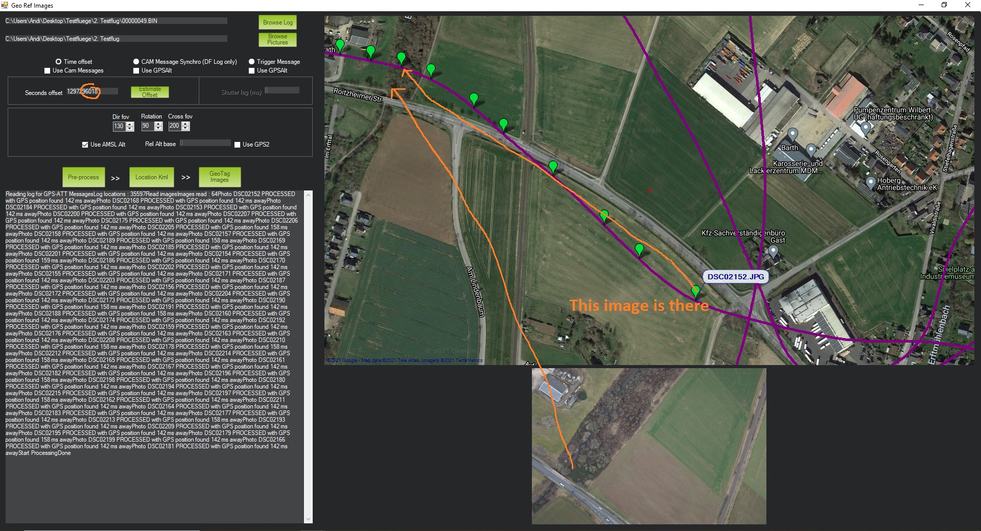
I need to geotag some images I´ve recently taken. The fact that I stoped the camera during the flight makes me using the “time Offset” instead of cam meassage. Since to GPS date is strangely 1980 the offset is 41 years and so. But anyway - I identified the offset to one second. The problem is: no matter what offset I type in (as long as it is within some dozent seconds around the real offset), it always tags the images with an “offset” / shift of 5 Images / ~500m to the same wrong place (I hope it is understandable). I can exactly match the events from the logs to the single images, but sadly it seems mission planner can´t as the geotagging tool using offset doesn´t work properly. Sadly the gpx-tracks can´t be used in other geotagging software such as geosetter. So I depend on that tool… Anyone who can help please??
Thanks
Andreas