I now have a HereFlow and a Lightware LW20/C installed on a copter. The lidar on the HereFlow is disabled - per the suggestion in the docs that it not be used.
Setting up the HereFlow I was introduced to the parameter that appears to record its lidar data: XKF5.mg. (not yet confirmed - and un-labeled on data graphs)
It turns out that this parameter also appears to record the lidar data from my Lightware LW20/C - very helpful.
As ArduPilot supports multiple rangefinders, I’m wondering how data from each rangefinder might be recorded.
The docs note that the rangefinder can be disabled using an aux-switch and a channel on the transmitter. I can see this might be useful if terrain following is unwanted in altitude hold or loiter flight modes.
I flew a test mission yesterday - that has a top altitude of 400’. (122 meters) This exceeds the range of the LW20/C - that has rngfnd1_max_cm set to “9500”.
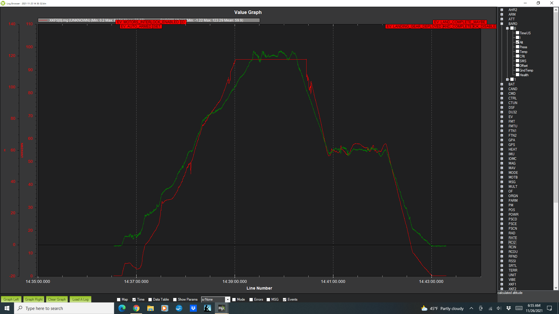
I graphed out XKF5.mg and baro - and you can see that the data from the lidar peaks and stays at 9500. I’m not sure if it might be better if the lidar reported a null value when exceeding it’s limits. But since I can disable it - I have at least one way to cope with it should it be a problem.
My question now is if I install a second rangefinder for obstacle avoidance - how will that data be recorded?