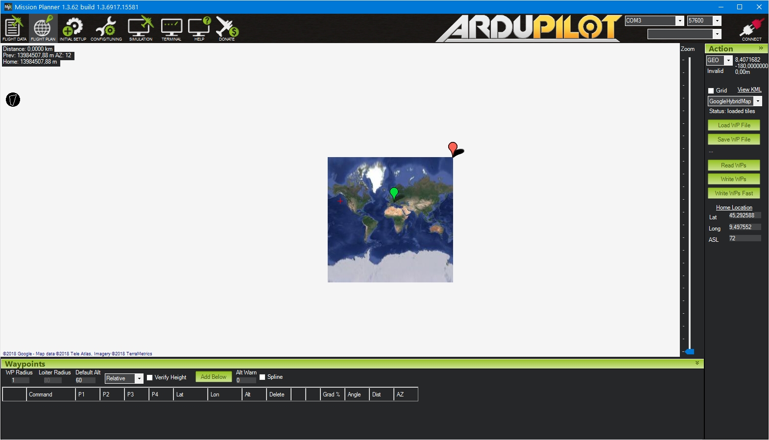
With a new 1.3.62 when I load a old polygon, I have this situation
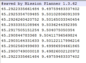
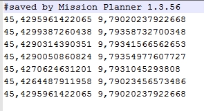
In the “old” files the coordinates were separated by the comma “,” in the new files they are separated by the dot “.”
The same for the fence files
it should be the other way around.
all current files should be “.” as a decimal, and “,” as a field seperator
The problem are the .poly and .fen files.
Hi there!
I’m having the same problem: Mission Planer version saving .poly files with coma separating coordinate decimals.
Is there a way I can fix this myself without changing my Mission Planer version?
I am using a custom made version by a drone builder.