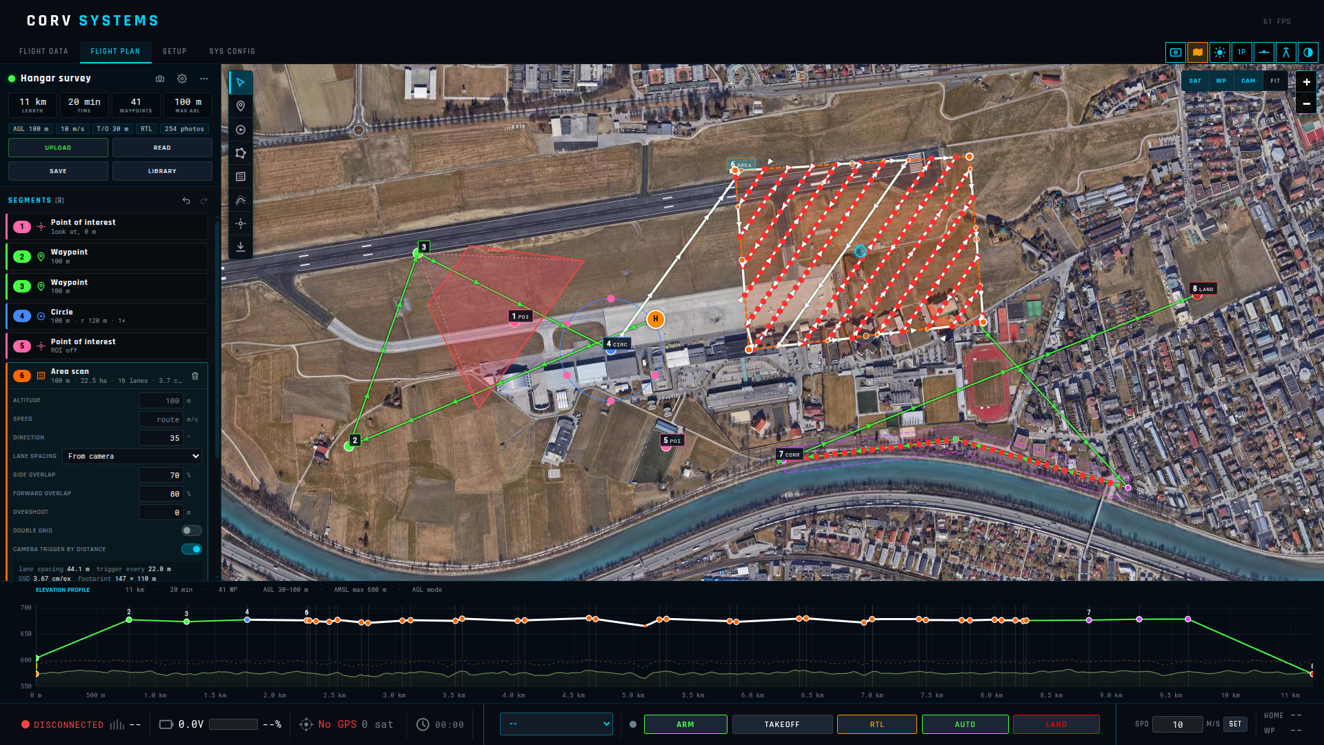
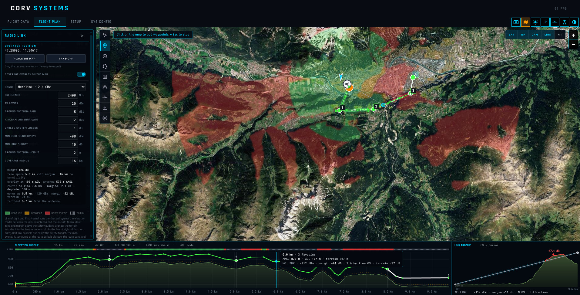
Released version 1.6.2:
En/Cn selection for language.
added on HUD icons for warning and alarms, active randomly in the initial DEMO
Released version 1.6.2:
En/Cn selection for language.
added on HUD icons for warning and alarms, active randomly in the initial DEMO
Released v1.7.1
Corv GCS v1.7.5 released: major changes!
Relative mode for ROV
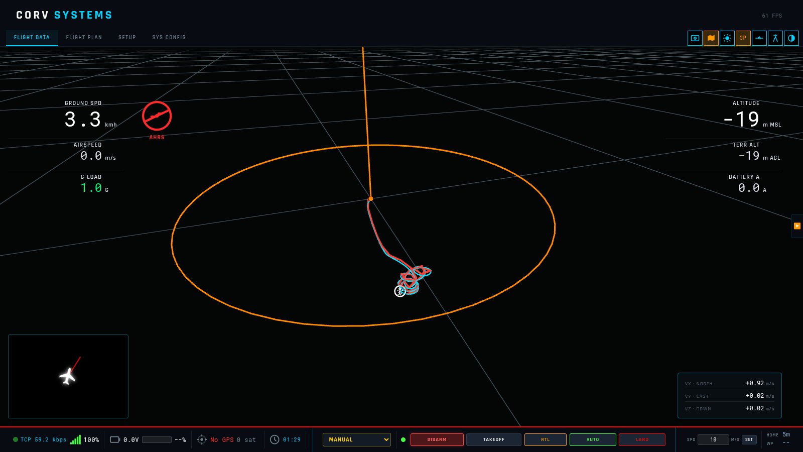
Added a new relative positioning mode for ROVs. When this option is selected, the trajectory is calculated from velocity alone. It’s not very precise, but it can be helpful when no GPS is available.
Motion visualization
Added particles in the “water” to visualize the speed and motion of the ROV. This overlay can also be enabled on top of the RTSP camera stream for a mixed view.
Improved 3D mode
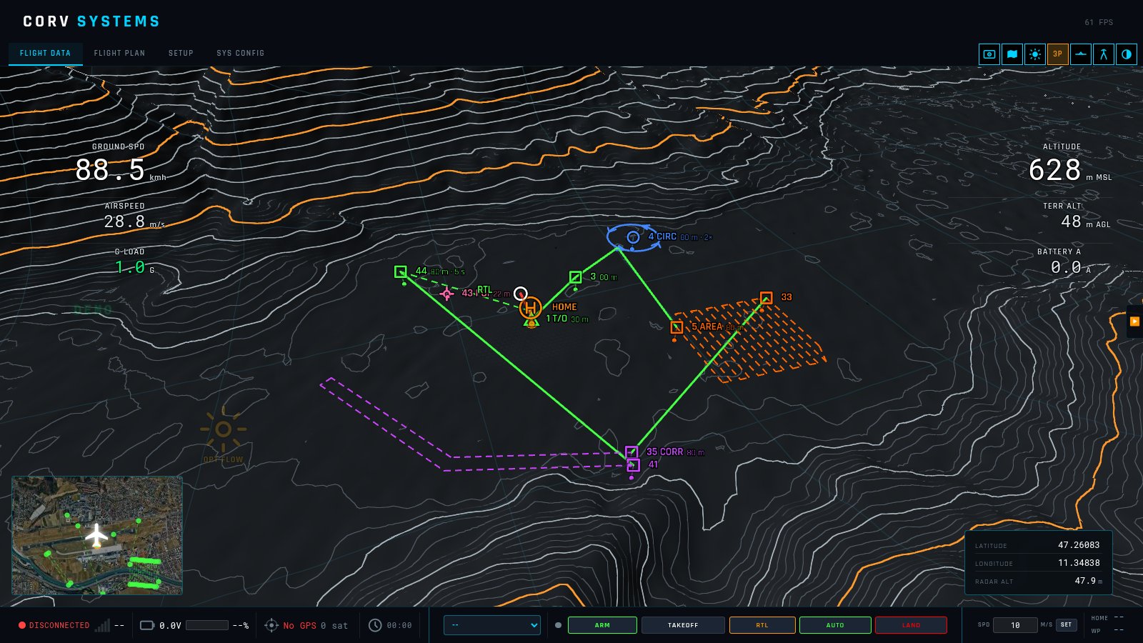
The 3D mode no longer uses the satellite imagery overlay. It now offers better mission visualization and improved 3D performance.
In the photo there is an example; this view is available in 3rd person and FPV
New feature guide
Added a guide explaining all the software’s features: Home | CORV GCS
Well Done Alessandro 
v1.8.2 released: ROSbridge and multi-core terrain loading
The conversion from SRTM elevation data to the 3D view has been reworked and now uses less RAM. In SYS CONFIG you can now set the quality of the terrain tiles and how far away they load.
You can now move the first-person view with the arrow keys, for a better 3D experience. The same movements can also be assigned to joystick buttons from the RC selection in Setup.
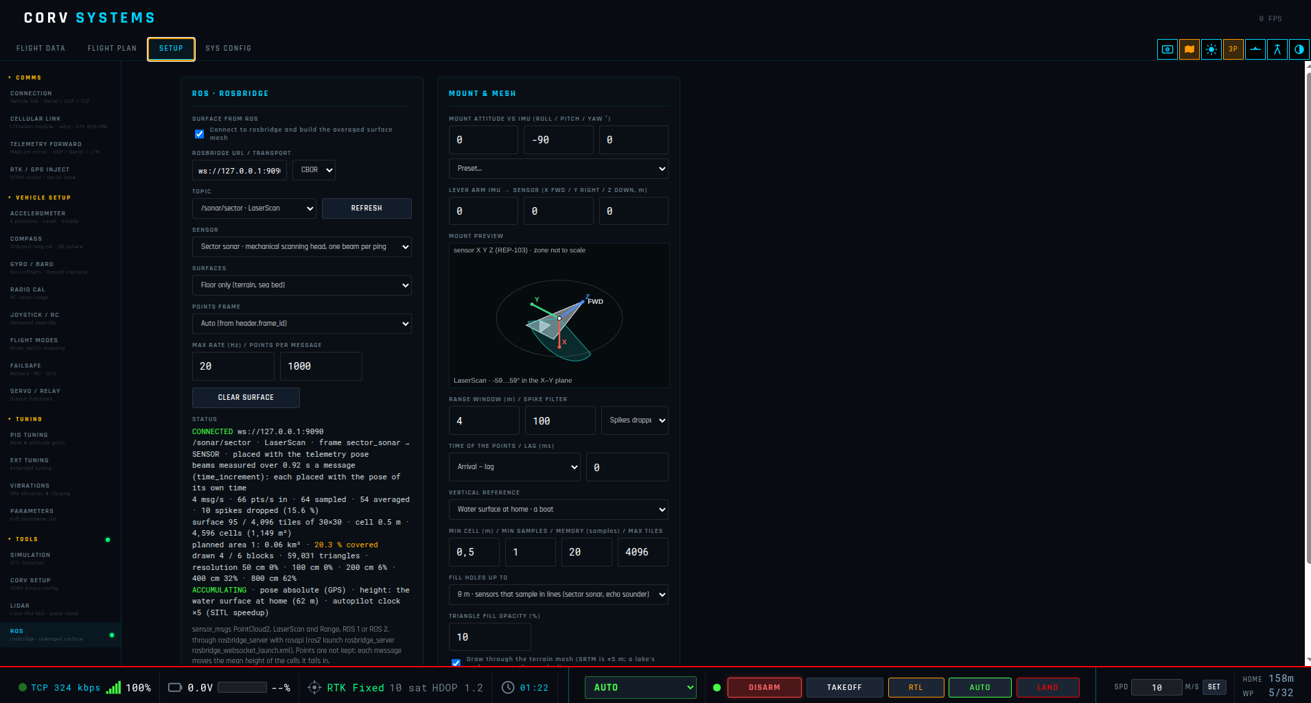
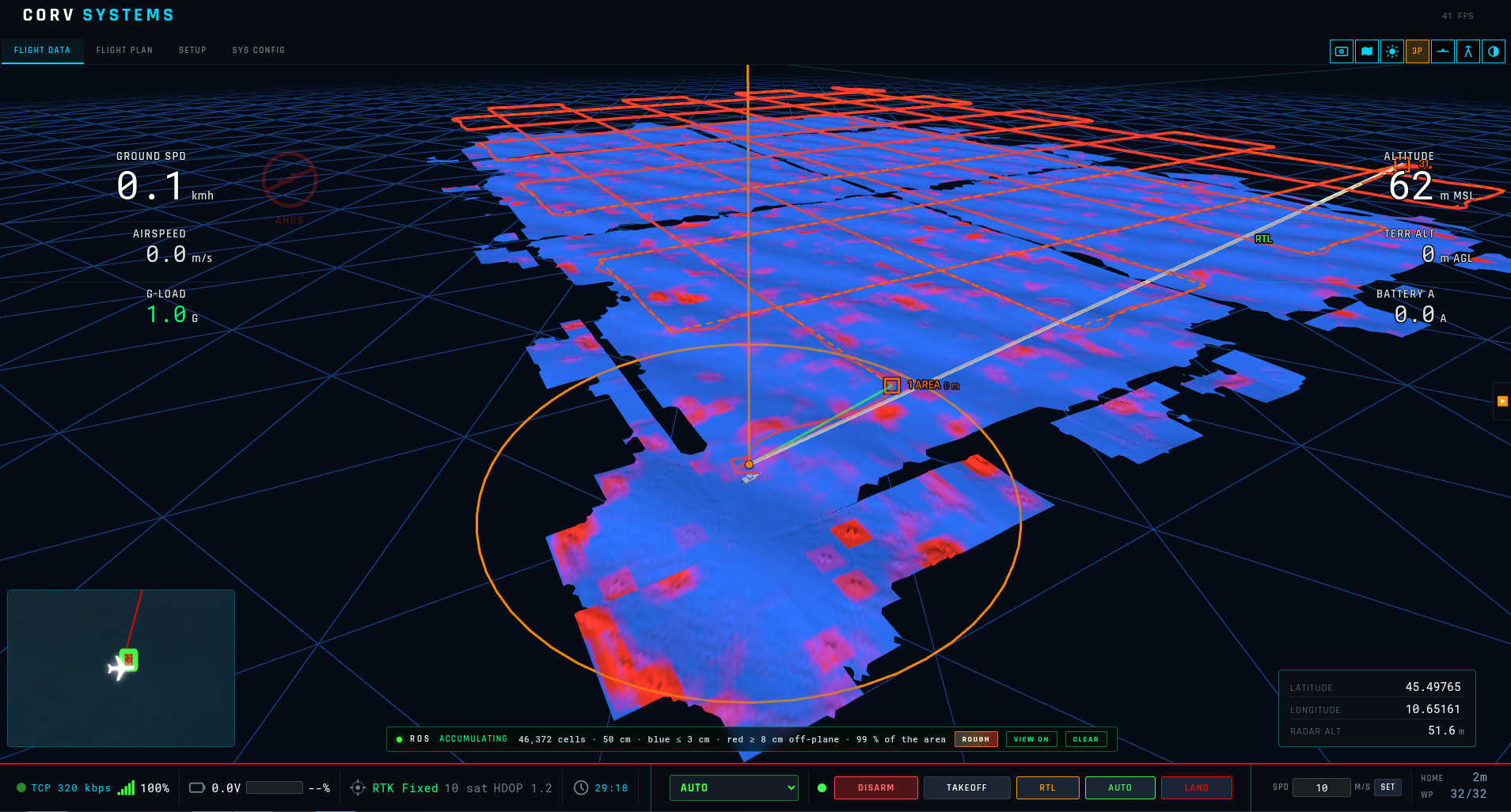
Added ROSbridge, to connect remotely to sensors such as LiDARs and sonars. The sensor’s position offset and mounting angles are configurable. The GCS builds a map from the received data as a simple terrain mesh, giving a live 3D preview of the measured features.
ROSbridge is a preview for now: it still needs to be tested with real hardware.
Also added the MAC build in GitHub