I’m working on software pipeline for turning sonar recordings from fishfinders into usable charts on an android device. I think it’s still pretty clunky. I’d appreciate any advice, if you want to be in the closed test of the android app send me an e-mail that has an associated google play account.


Code: https://github.com/maxschwartziv/anchorhold-web-viewer
Specifications and install steps:
https://www.droneboatfleet.com/anchorhold-web-viewer/
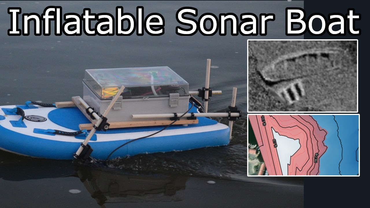
sonar file decoding handled by PINGMapper: GitHub - CameronBodine/PINGMapper: Open-source interface for processing recreation-grade side scan sonar datasets and reproducibly mapping benthic habitat · GitHub