I am wondering how I can update the Google Satellite Maps in MP. When go to the Flight Data screen it shows a 10 year old picture of my property but when I go to Google Earth it shows a very recent picture. Why is that? I just uninstalled MP and cleaned out every file I could find on my computer and then reinstalled the latest version and I am still getting the old pics on the Flight Data screen. Is there some way to fix this?
How about when you look at it on maps.google.com I’m not seeing an issue, at least for me.[/quote]
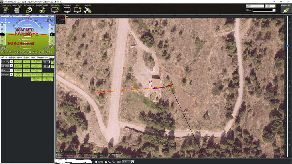
This is what I am talking about. Here is MP

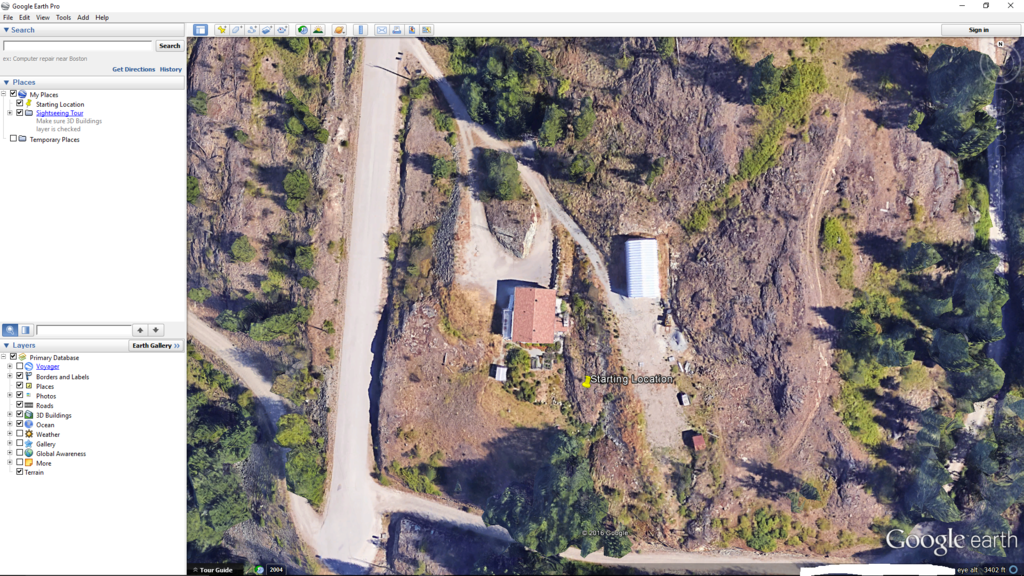
And here is Google Earth

How about when you look at it on maps.google.com I’m not seeing an issue, at least for me.[/quote]
This is what I am talking about. Here is MP
http://i133.photobucket.com/albums/q47/elimsprint/screenshots/Screenshot%202_zpsl3vm7k0g.png
And here is Google Earth
[urlhttp://i133.photobucket.com/albums/q47/elimsprint/screenshots/Screenshot%205_zps75aiwfnq.png][/url][/quote]
But I asked about maps, not Google Earth. I’ve sometimes seen a discrepancy between the two.
But I asked about maps, not Google Earth. I’ve sometimes seen a discrepancy between the two.[/quote]
Maps works as far as it goes but it is not what I need to do mission planning. I live on acreage and all maps shows is a dot for my house beside the road we are on so absolutely useless for what I want.
in the latest MP press control-f
then click the “age map data” button.
this will remove all cache images older than 30 days.
Hi Michael,
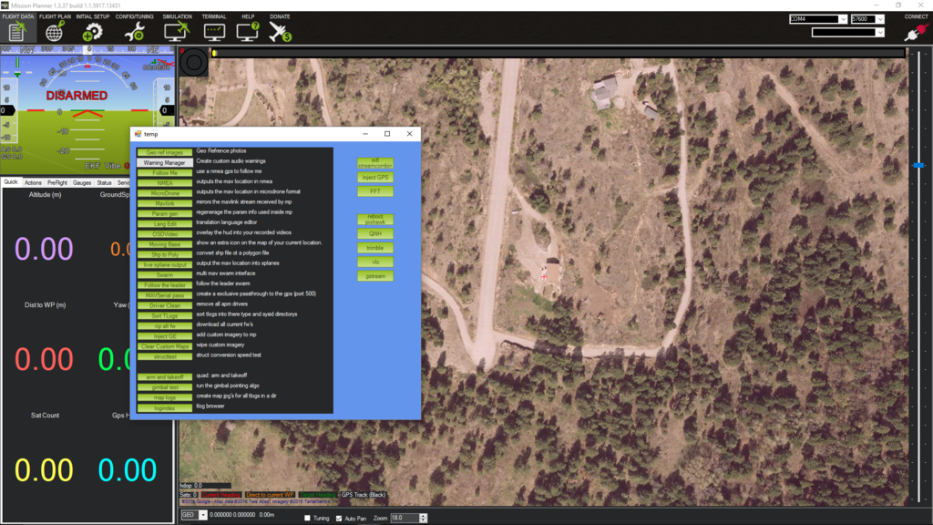
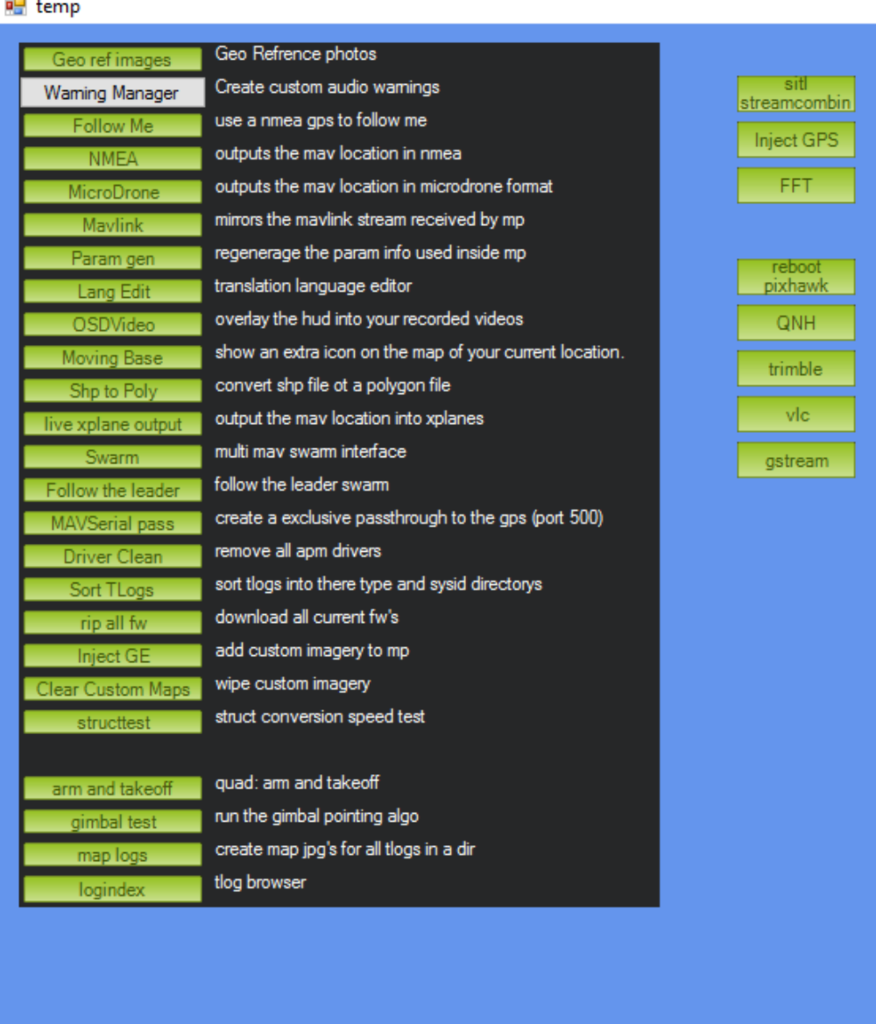
Thanks for the reply but, when I go to MP 1.3.37 and press control f I get this screen but I cannot find “age map data” on it

agh, its only in beta MP at the moment.
help > update beta.
or wait till the next release
I’ll wait for the release, but thank you for taking note of my problem and letting me know a fix is coming soon.
Hi Michael,
So I got the newest version of MP and found “age map data” and used it and it said it removed 5000+ images but…
I still have the old picture of my place showing in MP when there is a very recent one on Google Earth Pro
Any ideas as to why?
google may be using different imagery between its maps and earth. the other option is to remove all cache image data.
just remove the gmapcache directory.
“just remove the gmapcache directory”
Do you mean going into “program files” “mission planner” “gmapcache” and deleting the whole file folder?
correct. the folder will be recreated if it is removed.
Thank you, I will try this today.
I haven’t had much flying time as a falcon has taken over the neighborhood and he/she attacks all my flying things except for the Sumo wing for some reason. That said I have been playing with the quad electronics indoors just to keep up on things. I deleted the gmapcache but the same old pics showed up again when I restarted MP. I just updated MP and cleared all the old map data yet I am still getting 5 or 6 year old data on my screen. Is MP supposed to show the same pics as Google Earth or does MP show something else? I have Google Satellite Map selected in the Flight Planner screen and I have tried all the other Google choices but I still get the old pics same as posted above. What am I doing wrong?
