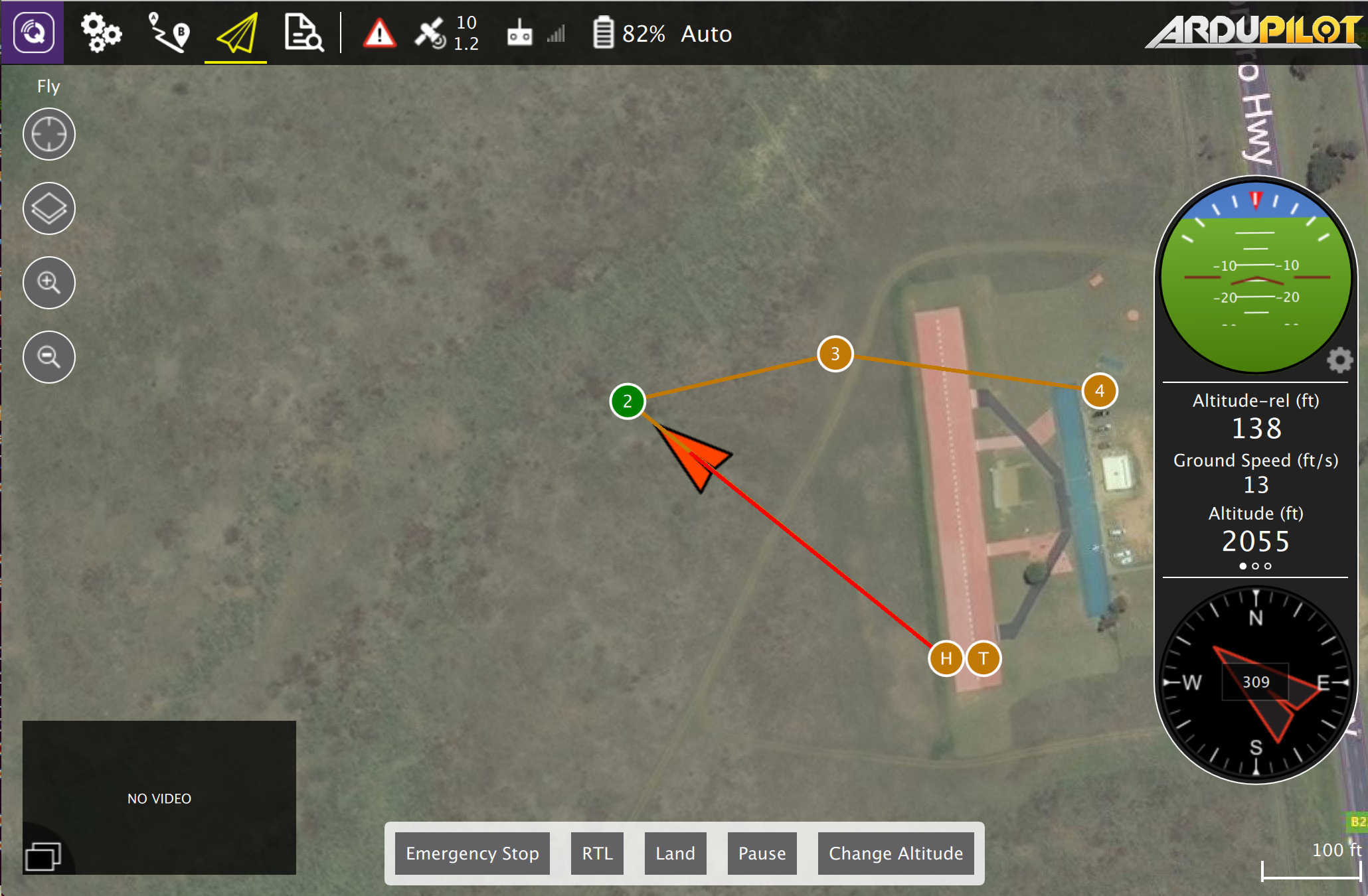
Announcing the release of QGroundControl V3.1. Notable changes in this release:
- Survey mission support
- GeoFence Support in Plan View
- Rally Point support in Plan View (ArduPilot only)
- ArduPilot onboard compass calibration
- Parameter editor search will now search as you type for quicker access
- Parameter display now supports unit conversion
- GeoTag images from log files (PX4 only)
- System health in instrument panel
- Mavlink 2.0 support (no signing yet)
Updated docs and install instructions are here: https://donlakeflyer.gitbooks.io/qgroundcontrol-user-guide/content/
